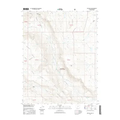
2016 Map of Spectacle Lake
USGS Topo · Published 2016About this map
Spectacle Lake and the Conejos River define this high-altitude landscape within the Rio Grande National Forest. This 2016 survey illustrates a complex network of pack trails and water bodies that speak to the area's history as a managed wilderness and resource. Long-established paths like the Valle Victoria Trail and Roaring Gulch Trail navigate around prominent landforms such as The Pinnacles and Black Mtn.
Find a feature on this map
41 named features on this map. Tap any name to fly to it.
Don’t see what you’re looking for? This feature index may not catch every label — zoom into the map to look around manually.
Map Details
Editions of this 2016 Spectacle Lake Map
This is the sole edition of this map. No revisions or reprints were ever made.
Other maps of this area

1913 · Summitville
USGS Topo · 1:125,000

1915 · Summitville
USGS Topo · 1:125,000

1922 · Conejos
USGS Topo · 1:125,000

1945 · Durango
USGS Topo · 1:250,000

1953 · Durango
USGS Topo · 1:250,000

1954 · Durango
USGS Topo · 1:250,000

1957 · Chama Peak
USGS Topo · 1:62,500

1961 · Durango
USGS Topo · 1:250,000

1963 · Durango
USGS Topo · 1:250,000

1966 · Durango
USGS Topo · 1:250,000