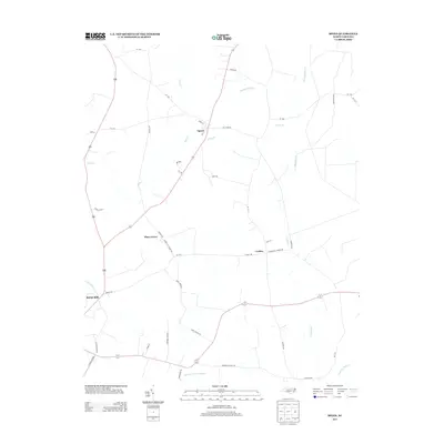
2013 Map of Speed
USGS Topo · Published 2013About this map
Speed serves as the primary rail-linked hub in this rural Edgecombe County landscape, situated where RR 1 crosses Main St. The surrounding countryside is defined by a dense network of watercourses and agricultural roads, with smaller community centers like Piney Grove and Coakley marking the interior. In the southwestern corner, the Tar River flows past Shiloh Mills, indicating an area of historically significant water-powered industry. The terrain is notably low-lying, evidenced by features such as the Mitchell Swamp Canal and the winding paths of Savage Mill Run and Conetoe Cr. Local roads like Roberson School Rd and Murphrey Farm Ln offer specific points of interest for genealogists tracing family landholdings and rural settlement patterns in the early 21st century.
Find a feature on this map
45 named features on this map. Tap any name to fly to it.
Don’t see what you’re looking for? This feature index may not catch every label — zoom into the map to look around manually.
Map Details
Editions of this 2013 Speed Map
This is the sole edition of this map. No revisions or reprints were ever made.
Other maps of this area

1901 · Parmele
USGS Topo · 1:62,500

1902 · Parmele
USGS Topo · 1:62,500

1902 · Tarboro
USGS Topo · 1:62,500

1903 · Tarboro
USGS Topo · 1:62,500

1953 · Norfolk
USGS Topo · 1:250,000

1953 · Rocky Mount
USGS Topo · 1:250,000

1954 · Rocky Mount
USGS Topo · 1:250,000

1960 · Draughn
USGS Topo · 1:24,000

1962 · Palmyra
USGS Topo · 1:24,000

1962 · Hobgood
USGS Topo · 1:24,000