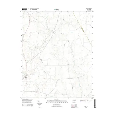
2016 Map of Speed
USGS Topo · Published 2016About this map
Tar River meanders through the southwestern corner of this coastal plain landscape, marking a transition between the elevated farmland and the lower wetlands. The small community of Speed serves as a focal point near the northern edge, where several local routes like Speed Rd and Main St converge. Moving south, the terrain is defined by a dense network of hydrologic features including Deep Cr, Savage Mill Run, and the artificial Mitchell Swamp Canal, reflecting a long history of water management for agriculture in Edgecombe County.
Find a feature on this map
39 named features on this map. Tap any name to fly to it.
Don’t see what you’re looking for? This feature index may not catch every label — zoom into the map to look around manually.
Map Details
Editions of this 2016 Speed Map
This is the sole edition of this map. No revisions or reprints were ever made.
Other maps of this area

1901 · Parmele
USGS Topo · 1:62,500

1902 · Parmele
USGS Topo · 1:62,500

1902 · Tarboro
USGS Topo · 1:62,500

1903 · Tarboro
USGS Topo · 1:62,500

1953 · Norfolk
USGS Topo · 1:250,000

1953 · Rocky Mount
USGS Topo · 1:250,000

1954 · Rocky Mount
USGS Topo · 1:250,000

1960 · Draughn
USGS Topo · 1:24,000

1962 · Palmyra
USGS Topo · 1:24,000

1962 · Hobgood
USGS Topo · 1:24,000