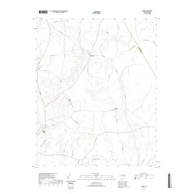
2019 Map of Speed
USGS Topo · Published 2019About this map
Speed serves as the central hub for this rural agricultural region of North Carolina, situated near the boundary where Edgecombe County meets Martin County. The landscape is defined by its intricate drainage patterns, with the Tar River and Mitchell Swamp Canal carving through the low-lying terrain. Numerous smaller watercourses like Savage Mill Run, Conetoe Cr, and Deep Cr influence the layout of local farms and timberlands.
Find a feature on this map
39 named features on this map. Tap any name to fly to it.
Don’t see what you’re looking for? This feature index may not catch every label — zoom into the map to look around manually.
Map Details
Editions of this 2019 Speed Map
This is the sole edition of this map. No revisions or reprints were ever made.
Other maps of this area

1901 · Parmele
USGS Topo · 1:62,500

1902 · Parmele
USGS Topo · 1:62,500

1902 · Tarboro
USGS Topo · 1:62,500

1903 · Tarboro
USGS Topo · 1:62,500

1953 · Norfolk
USGS Topo · 1:250,000

1953 · Rocky Mount
USGS Topo · 1:250,000

1954 · Rocky Mount
USGS Topo · 1:250,000

1960 · Draughn
USGS Topo · 1:24,000

1962 · Palmyra
USGS Topo · 1:24,000

1962 · Hobgood
USGS Topo · 1:24,000