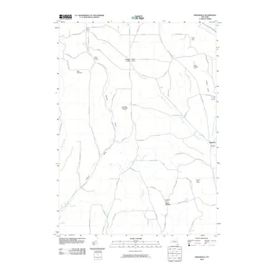
2010 Map of Speedsville
USGS Topo · Published 2010About this map
Speedsville and the surrounding rural communities of Tioga and Tompkins counties are defined by the winding course of the West Branch Owego Creek and several protected woodlands. The early 21st-century landscape is marked by a network of historic burial grounds, including the Central Chapel Cemetery and Caroline Centre Cemetery, which serve as vital touchstones for family historians. These quiet hamlets, such as Upper Fairfield and Guide Board Corners, remain connected by a web of local roads like Old 76 Rd and Level Green Rd, following the natural contours of Shindagin Hollow and Prospect Valley. Broad tracts of public land, such as Potato Hill State Forest and Fairfield State Forest, preserve the upland character of the region. Distinctive landmarks like the Padlock Lookout Tower offer a vertical counterpoint to the deep valleys carved by Boyer Creek and Doolittle Creek, illustrating the intersection of forestry management and rural settlement in this corner of the Southern Tier.
Find a feature on this map
67 named features on this map. Tap any name to fly to it.
Don’t see what you’re looking for? This feature index may not catch every label — zoom into the map to look around manually.
Map Details
Editions of this 2010 Speedsville Map
This is the sole edition of this map. No revisions or reprints were ever made.
Other maps of this area

1900 · Dryden
USGS Topo · 1:62,500

1901 · Apalachin
USGS Topo · 1:62,500

1903 · Owego
USGS Topo · 1:62,500

1903 · Harford
USGS Topo · 1:62,500

1904 · Apalachin
USGS Topo · 1:62,500

1906 · Catatonk
USGS Topo · 1:125,000

1949 · Ithaca East
USGS Topo · 1:24,000

1949 · Willseyville
USGS Topo · 1:24,000
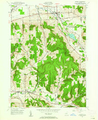
1949 · Dryden
USGS Topo · 1:24,000

1949 · Speedsville
USGS Topo · 1:24,000