
1949 Map of Speedsville
USGS Topo · Published 1966About this map
The boundary between Tompkins Co and Tioga Co defines the heart of this landscape, where the town of Speedsville sits at the confluence of several valley roads. This post-war survey reveals a rural network of named hills and hollows, including the prominent Bald Mtn and the winding Shindagin Hollow. The settlement at Caroline Center and the rural junction at Guide Board Corners suggest an era when small-town crossroads were still the primary centers of local commerce and community life.
Find a feature on this map
43 named features on this map. Tap any name to fly to it.
Don’t see what you’re looking for? This feature index may not catch every label — zoom into the map to look around manually.
Map Details
Editions of this 1949 Speedsville Map
This is the sole edition of this map. No revisions or reprints were ever made.
Other maps of this area

1900 · Dryden
USGS Topo · 1:62,500

1901 · Apalachin
USGS Topo · 1:62,500

1903 · Owego
USGS Topo · 1:62,500

1903 · Harford
USGS Topo · 1:62,500

1904 · Apalachin
USGS Topo · 1:62,500

1906 · Catatonk
USGS Topo · 1:125,000

1949 · Ithaca East
USGS Topo · 1:24,000

1949 · Willseyville
USGS Topo · 1:24,000
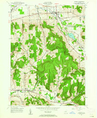
1949 · Dryden
USGS Topo · 1:24,000
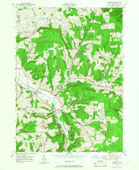
1949 · Harford
USGS Topo · 1:24,000