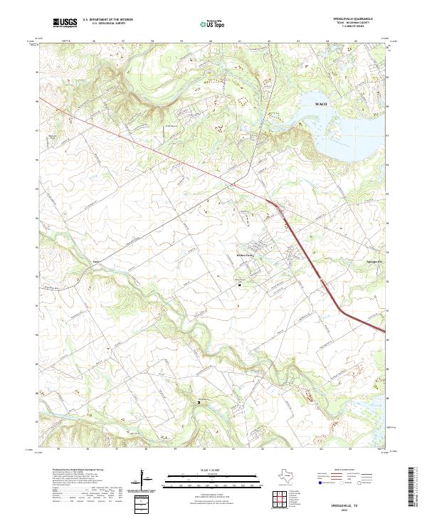
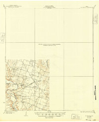
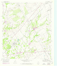
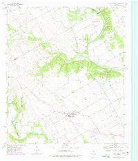
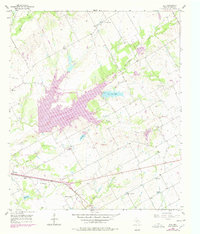
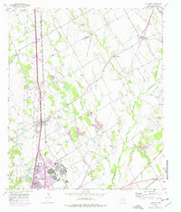
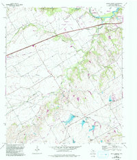
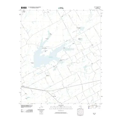
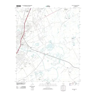
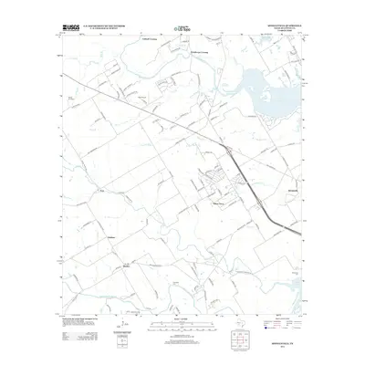
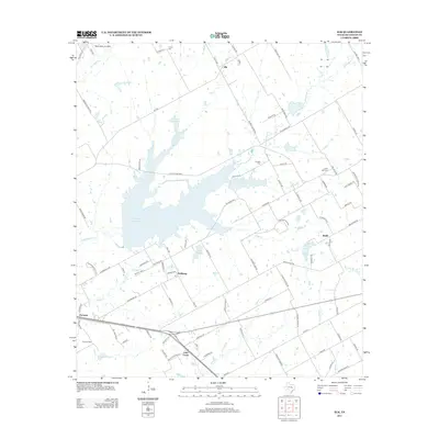
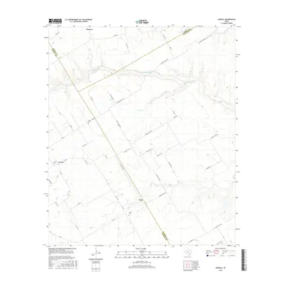
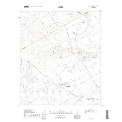
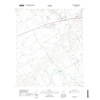
2022 Map of Speegleville
USGS Topo · Published 2022About this map
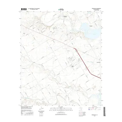
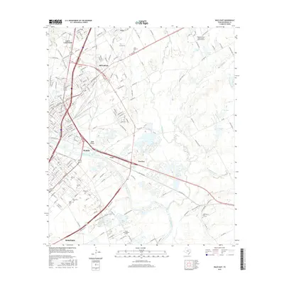
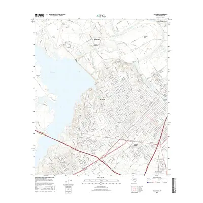
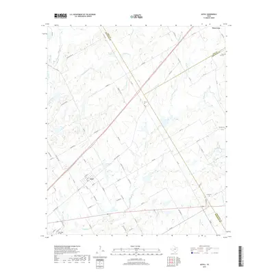
Waco Lake and its surrounding watershed define the topography of this McLennan County region, where the North Bosque River and Middle Bosque River converge. The landscape is a network of small watercourses such as Hog Creek and Speegleville Cr that cut through the undulating terrain west of Waco. Small rural communities and historic sites are scattered throughout, including the settlements of Ocee, Willow Grove, and Speegleville.
Find a feature on this map
109 named features on this map. Tap any name to fly to it.
Don’t see what you’re looking for? This feature index may not catch every label — zoom into the map to look around manually.
Map Details
Editions of this 2022 Speegleville Map
This is the sole edition of this map. No revisions or reprints were ever made.
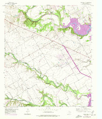
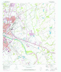
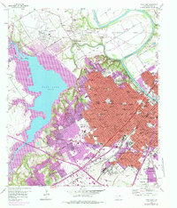
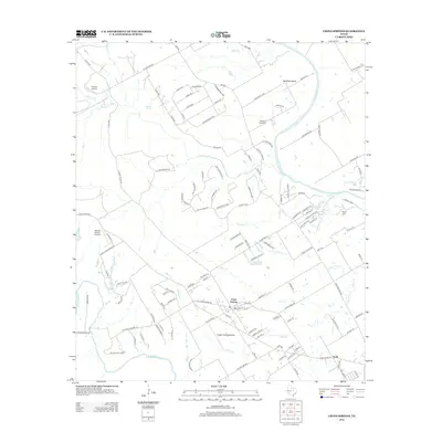
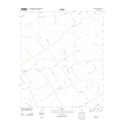
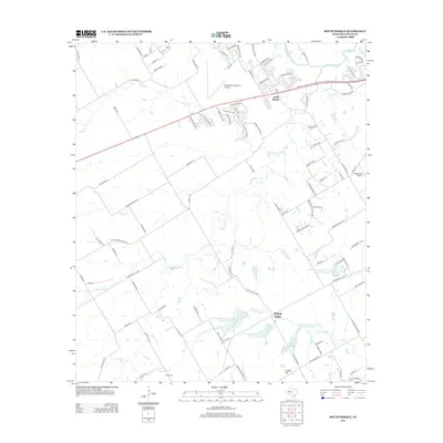
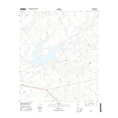
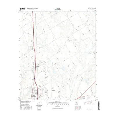
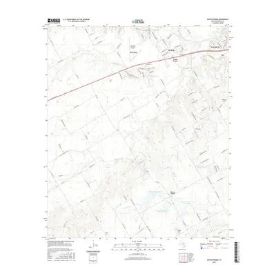
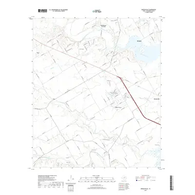
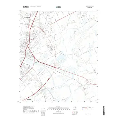
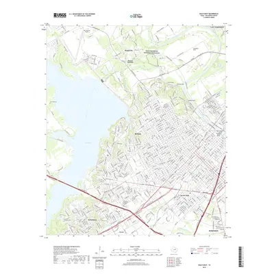
Historical Maps of Waco Through Time
58 maps found
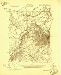
1924 Waco 3-d
McLennan County, TX
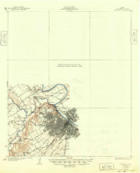
1924 Waco 4-c
McLennan County, TX
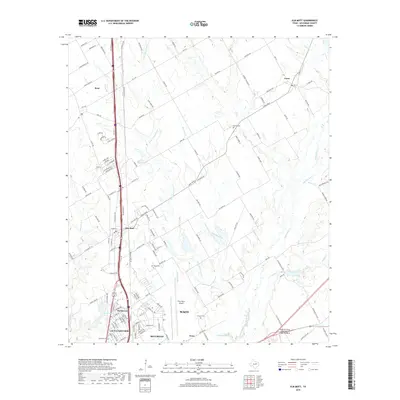
1931 Elm Mott
McLennan County, TX
1931 Mc Gregor
McLennan County, TX

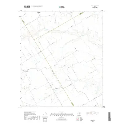
1955 Coryell
McLennan County, TX
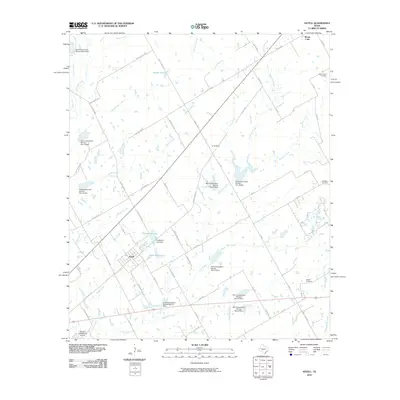
1956 Axtell
McLennan County, TX
1957 China Springs
McLennan County, TX
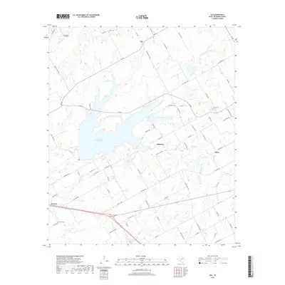
1957 Elk
McLennan County, TX
1957 Elm Mott
McLennan County, TX
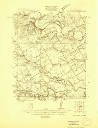
1957 Speegleville
McLennan County, TX
1957 Waco East
McLennan County, TX
1957 Waco West
McLennan County, TX
1965 South Bosque
McLennan County, TX
2010 Axtell
McLennan County, TX
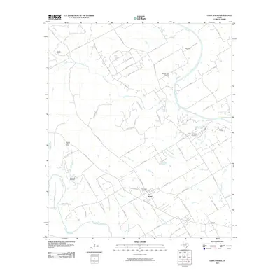
2010 China Springs
McLennan County, TX
2010 Coryell
McLennan County, TX
2010 Elk
McLennan County, TX
2010 Elm Mott
McLennan County, TX
2010 South Bosque
McLennan County, TX
2010 Speegleville
McLennan County, TX
2010 Waco East
McLennan County, TX

2010 Waco West
McLennan County, TX
2012 China Springs
McLennan County, TX
2012 Coryell
McLennan County, TX
2012 South Bosque
McLennan County, TX
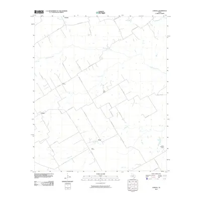
2012 Speegleville
McLennan County, TX
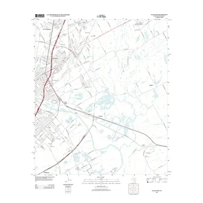
2012 Waco East
McLennan County, TX
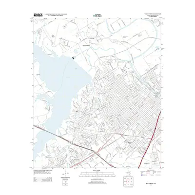
2012 Waco West
McLennan County, TX
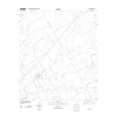
2013 Axtell
McLennan County, TX
2013 Elk
McLennan County, TX
2013 Elm Mott
McLennan County, TX
2016 Axtell
McLennan County, TX
2016 China Springs
McLennan County, TX
2016 Coryell
McLennan County, TX
2016 Elk
McLennan County, TX
2016 Elm Mott
McLennan County, TX
2016 South Bosque
McLennan County, TX
2016 Speegleville
McLennan County, TX
2016 Waco East
McLennan County, TX
2016 Waco West
McLennan County, TX
2019 Axtell
McLennan County, TX
2019 China Springs
McLennan County, TX
2019 Coryell
McLennan County, TX
2019 Elk
McLennan County, TX
2019 Elm Mott
McLennan County, TX
2019 South Bosque
McLennan County, TX
2019 Speegleville
McLennan County, TX
2019 Waco East
McLennan County, TX
2019 Waco West
McLennan County, TX
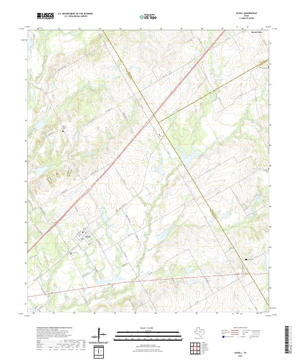
2022 Axtell
McLennan County, TX
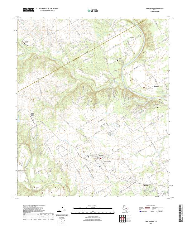
2022 China Springs
McLennan County, TX
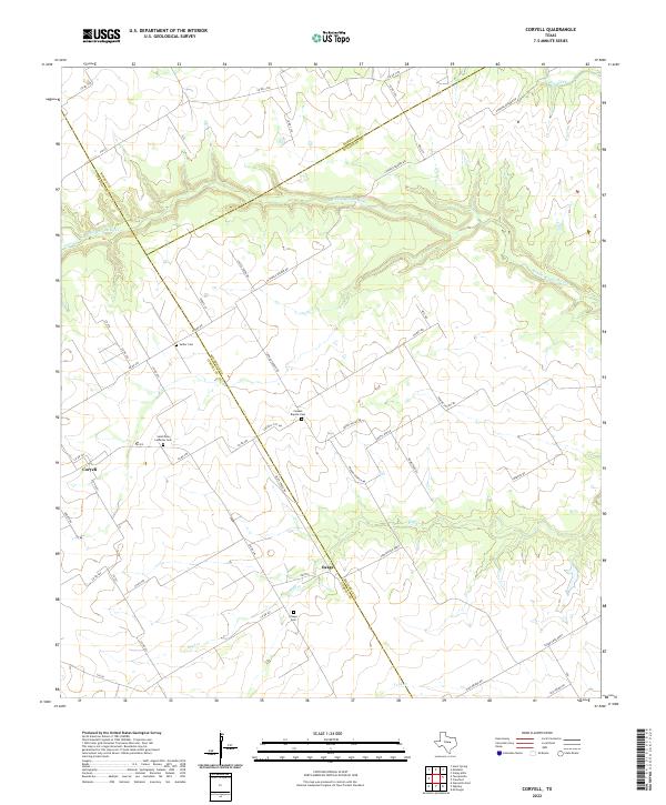
2022 Coryell
McLennan County, TX
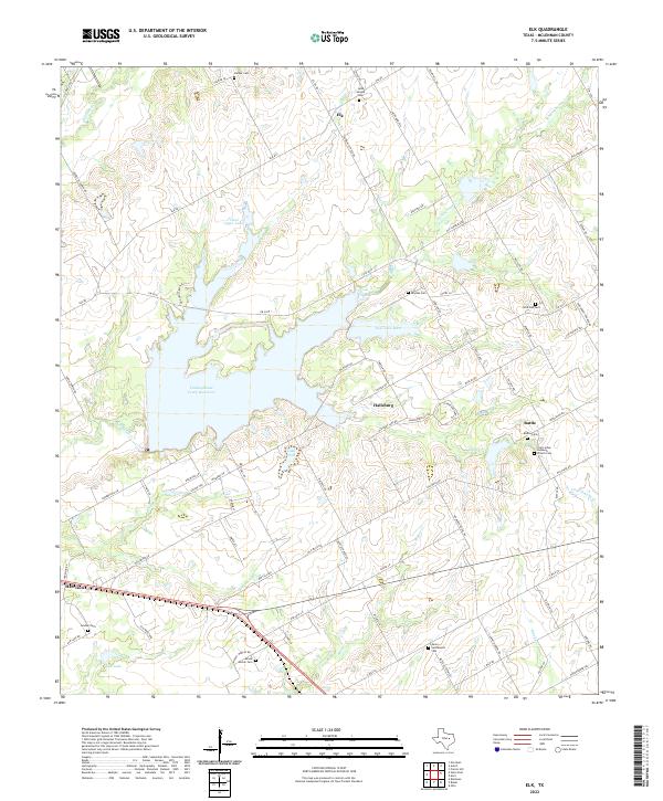
2022 Elk
McLennan County, TX
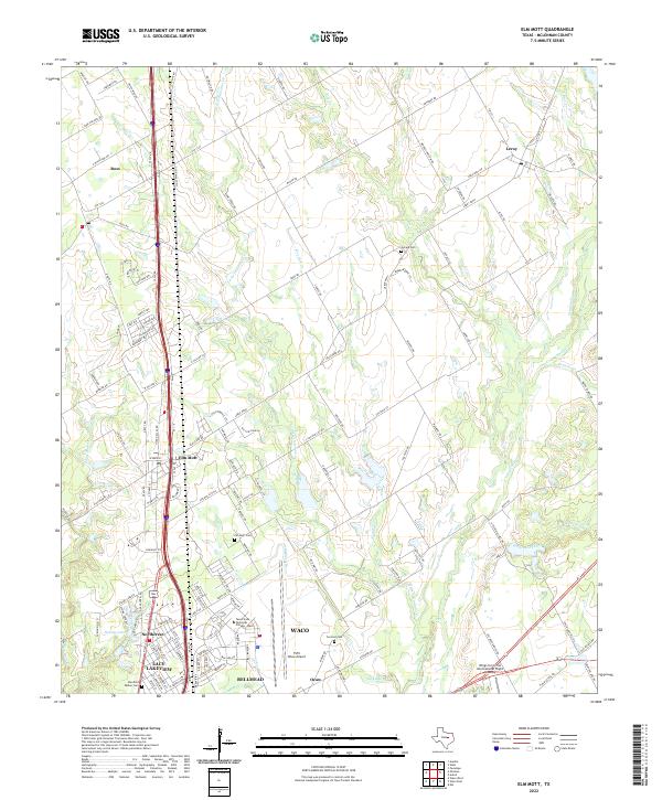
2022 Elm Mott
McLennan County, TX
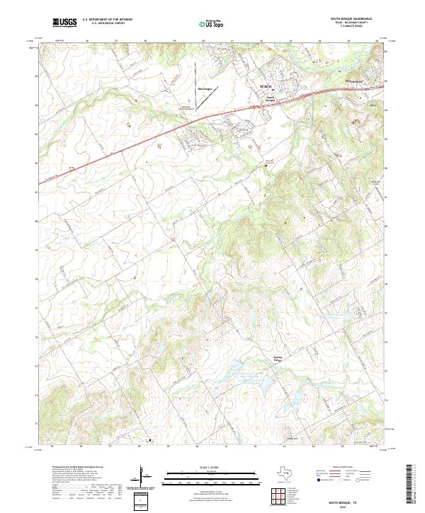
2022 South Bosque
McLennan County, TX
2022 Speegleville
McLennan County, TX
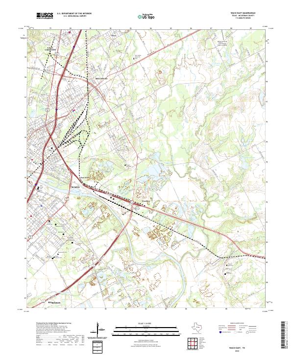
2022 Waco East
McLennan County, TX
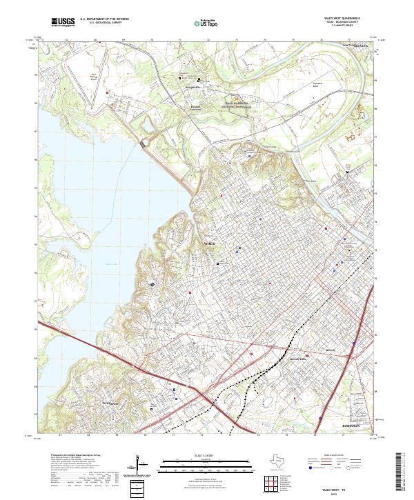
2022 Waco West
McLennan County, TX