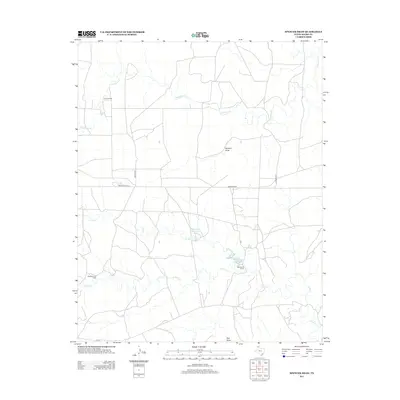
2012 Map of Spencer Draw
USGS Topo · Published 2012About this map
Grapevine Cr and several branches of Plum Cr carve through this section of Moore County, defining a landscape marked by ranching outposts and seasonal drainage patterns. The map highlights the enduring presence of family-named ranching operations, including Browns Ranch in the northwest and Weymouth Ranch near the center. Water management is a visible priority in this arid region, evidenced by the named impoundments of Thompson Estate Lake and Weymouth Middle Lake.
Find a feature on this map
17 named features on this map. Tap any name to fly to it.
Don’t see what you’re looking for? This feature index may not catch every label — zoom into the map to look around manually.
Map Details
Editions of this 2012 Spencer Draw Map
This is the sole edition of this map. No revisions or reprints were ever made.
Other maps of this area

1936 · Fourways
USGS Topo · 1:62,500

1939 · Sanford
USGS Topo · 1:62,500

1953 · Marsh
USGS Topo · 1:24,000

1953 · Alibates Ranch
USGS Topo · 1:24,000

1953 · Evans Canyon
USGS Topo · 1:24,000

1953 · Masterson
USGS Topo · 1:24,000

1953 · McDowell Creek
USGS Topo · 1:24,000

1953 · Spencer Draw
USGS Topo · 1:24,000

1954 · Amarillo
USGS Topo · 1:250,000

1958 · Amarillo
USGS Topo · 1:250,000