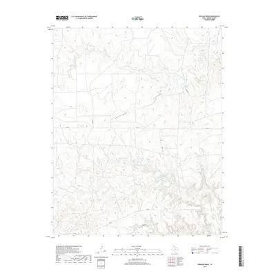
2019 Map of Spencer Draw
USGS Topo · Published 2019About this map
Spencer Draw and Red Draw dictate the topography of this Moore County landscape, where deeply incised drainage systems cut through the High Plains. This 2019 survey captures a ranching and energy-producing environment defined by long-distance infrastructure and managed water sources. Small impoundments like Thompson Estate Lake and Weymouth Middle Lake provide critical water points in an otherwise arid expanse, situated along the complex branches of Plum Creek. The road network, including Fm 1913 and Denison Rd, follows the section lines of the Texas Panhandle, providing access to the remote draws and creek beds that have served as landmarks for generations. The intricate contours of Grapevine Cr and the various forks of N Plum Cr reveal the erosion patterns typical of the region's breaks.
Find a feature on this map
12 named features on this map. Tap any name to fly to it.
Don’t see what you’re looking for? This feature index may not catch every label — zoom into the map to look around manually.
Map Details
Editions of this 2019 Spencer Draw Map
This is the sole edition of this map. No revisions or reprints were ever made.
Other maps of this area

1936 · Fourways
USGS Topo · 1:62,500

1939 · Sanford
USGS Topo · 1:62,500

1953 · Marsh
USGS Topo · 1:24,000

1953 · Alibates Ranch
USGS Topo · 1:24,000

1953 · Evans Canyon
USGS Topo · 1:24,000

1953 · Masterson
USGS Topo · 1:24,000

1953 · McDowell Creek
USGS Topo · 1:24,000

1953 · Spencer Draw
USGS Topo · 1:24,000

1954 · Amarillo
USGS Topo · 1:250,000

1958 · Amarillo
USGS Topo · 1:250,000