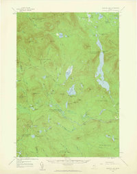
1958 Map of Spencer Lake
USGS Topo · Published 1960About this map
Spencer Lake and the surrounding unorganized townships of Somerset and Franklin counties define this 1958 survey. The landscape is characterized by a network of seasonal outposts and remote sporting camps, including the Spencer Lake Camps and King and Bartlett Camps. These locations, alongside the Hobbstown Depot Camp, reflect a mid-century Maine woods economy driven by timber and wilderness recreation.
Find a feature on this map
99 named features on this map. Tap any name to fly to it.
Don’t see what you’re looking for? This feature index may not catch every label — zoom into the map to look around manually.
Map Details
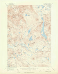
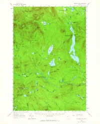
Editions of this 1958 Spencer Lake Map
3 editions found
Other maps of this area

1922 · Long Pond
USGS Topo · 1:62,500

1923 · Attean
USGS Topo · 1:62,500

1924 · Long Pond
USGS Topo · 1:62,500

1925 · Pierce Pond
USGS Topo · 1:48,000

1925 · Attean
USGS Topo · 1:62,500

1927 · Pierce Pond
USGS Topo · 1:62,500

1928 · Chain Lakes
USGS Topo · 1:48,000

1928 · Skinner
USGS Topo · 1:48,000

1928 · Spencer
USGS Topo · 1:48,000

1928 · Dead River
USGS Topo · 1:62,500
Featured Places
- Flagstaff Township, ME
- Upper Enchanted Township, ME
- Haynestown Township, ME
- Kibby Township, ME
- T3 R5 BKP WKR, ME