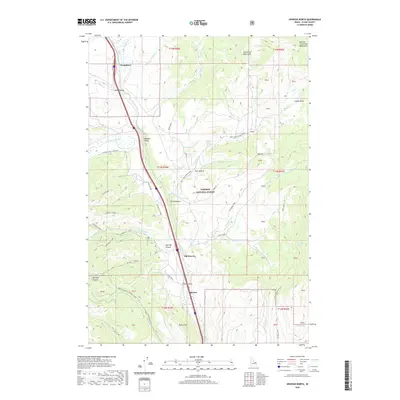
2020 Map of Spencer North
USGS Topo · Published 2020About this map
Beaver Cr dictates the path of travel through this high-altitude corridor of Clark County, Idaho. The settlement of Spencer and the nearby site of Old Beaver sit at the southern end of a long mountain passage, where the valley floor begins to transition into the higher peaks of the Centennial Mountains. To the north, the small community of Humphrey marks another point along this vital transportation artery, which follows the drainage through Idaho Hollow. Much of the eastern and central portion of the map is contained within the Targhee National Forest, a landscape of complex draws and canyons like Huntley Canyon and Van Noy Canyon. Named water sources such as Palmer Springs and Little Lake point to the critical role of water management in this high-country environment, which is dominated by public land and seasonal grazing ranges.
Find a feature on this map
71 named features on this map. Tap any name to fly to it.
Don’t see what you’re looking for? This feature index may not catch every label — zoom into the map to look around manually.
Map Details
Editions of this 2020 Spencer North Map
This is the sole edition of this map. No revisions or reprints were ever made.
Other maps of this area

1955 · Dubois
USGS Topo · 1:250,000

1957 · Paul Reservoir
USGS Topo · 1:62,500

1958 · Dubois
USGS Topo · 1:250,000

1968 · Corral Creek
USGS Topo · 1:24,000

1968 · Big Table Mountain
USGS Topo · 1:24,000

1968 · Monida
USGS Topo · 1:24,000

1972 · Spencer South
USGS Topo · 1:24,000

1972 · Spencer North
USGS Topo · 1:24,000
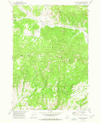
1972 · Lookout Point
USGS Topo · 1:24,000
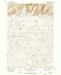
1972 · Gardner Lake
USGS Topo · 1:24,000