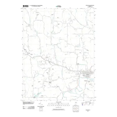
2010 Map of Spencer
USGS Topo · Published 2010About this map
The White River winds through the southeastern portion of this landscape, anchoring the regional center of Spencer. This river corridor is a primary focal point for local history, featuring numerous burial grounds such as Riverside Cemetery, River Hill Cemetery, and Blair Cemetery. Away from the river, the terrain is defined by a network of drainage systems including Rattlesnake Creek and East Fork Fish Creek, interspersed with prominent high points like Gaston Hill and Cooksey Hill.
Find a feature on this map
91 named features on this map. Tap any name to fly to it.
Don’t see what you’re looking for? This feature index may not catch every label — zoom into the map to look around manually.
Map Details
Editions of this 2010 Spencer Map
This is the sole edition of this map. No revisions or reprints were ever made.
Other maps of this area

1908 · Bloomington
USGS Topo · 1:48,000

1908 · Bloomfield
USGS Topo · 1:62,500

1910 · Bloomington
USGS Topo · 1:62,500

1947 · Gosport
USGS Topo · 1:24,000

1949 · Quincy
USGS Topo · 1:24,000

1950 · Gosport
USGS Topo · 1:24,000

1950 · Arney
USGS Topo · 1:24,000

1953 · Indianapolis
USGS Topo · 1:250,000

1956 · Indianapolis
USGS Topo · 1:250,000

1956 · Cataract
USGS Topo · 1:24,000