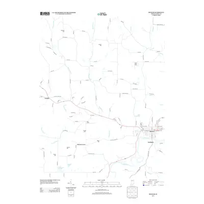
2013 Map of Spencer
USGS Topo · Published 2013About this map
The White River winds through the southern portion of this landscape, anchoring the regional topography near the Owen County seat at Spencer. This 2013 survey reflects a primarily rural environment characterized by a series of named elevations such as Gaston Hill, Straley Hill, and Cooksey Hill. Small aviation nodes like Timber Trails Airport and Miller Airport are situated north of the river, while the settlement of Vandalia occupies the western portion of the area.
Find a feature on this map
105 named features on this map. Tap any name to fly to it.
Don’t see what you’re looking for? This feature index may not catch every label — zoom into the map to look around manually.
Map Details
Editions of this 2013 Spencer Map
This is the sole edition of this map. No revisions or reprints were ever made.
Other maps of this area

1908 · Bloomington
USGS Topo · 1:48,000

1908 · Bloomfield
USGS Topo · 1:62,500

1910 · Bloomington
USGS Topo · 1:62,500

1947 · Gosport
USGS Topo · 1:24,000

1949 · Quincy
USGS Topo · 1:24,000

1950 · Gosport
USGS Topo · 1:24,000

1950 · Arney
USGS Topo · 1:24,000

1953 · Indianapolis
USGS Topo · 1:250,000

1956 · Indianapolis
USGS Topo · 1:250,000

1956 · Cataract
USGS Topo · 1:24,000