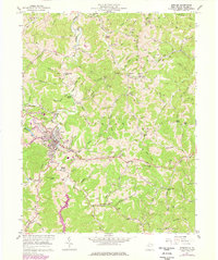
1957 Map of Spencer
USGS Topo · Published 1977About this map
The city of Spencer serves as the focal point of this mid-century West Virginia survey, revealing a landscape defined by the convergence of steep Appalachian ridges and narrow valley floors. The community is characterized by established institutions like the State Hospital and College Hill, while the Baltimore and Ohio rail line tracks through the valley near Nancy Run. The map provides a detailed view of local infrastructure just before significant 1970s updates, documenting a web of family and community landmarks such as Walker Chapel, Spencer Memorial Cem, and Gandee Chapel.
Find a feature on this map
98 named features on this map. Tap any name to fly to it.
Don’t see what you’re looking for? This feature index may not catch every label — zoom into the map to look around manually.
Map Details
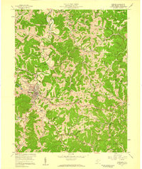
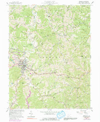
Editions of this 1957 Spencer Map
3 editions found
Other maps of this area

1906 · Otter
USGS Topo · 1:62,500

1906 · Walton
USGS Topo · 1:62,500

1907 · Otter
USGS Topo · 1:62,500

1907 · Arnoldsburg
USGS Topo · 1:62,500

1907 · Spencer
USGS Topo · 1:62,500

1907 · Walton
USGS Topo · 1:62,500

1925 · Arnoldsburg
USGS Topo · 1:62,500

1927 · Arnoldsburg
USGS Topo · 1:62,500

1928 · Spencer
USGS Topo · 1:62,500

1954 · Charleston
USGS Topo · 1:250,000