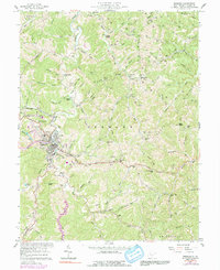
1957 Map of Spencer
USGS Topo · Published 1991About this map
Spencer serves as the focal point of this mid-century West Virginia survey, showing the city's development alongside the Baltimore and Ohio railroad corridor. The presence of the State Hospital and its associated reservoir, along with the State Run Airport, highlights the town's role as a regional hub. To the south, the village of Vandale is surrounded by family-named landmarks and schools such as Vandale Sch and Zion Ch.
Find a feature on this map
95 named features on this map. Tap any name to fly to it.
Don’t see what you’re looking for? This feature index may not catch every label — zoom into the map to look around manually.
Map Details
Editions of this 1957 Spencer Map
3 editions found
Other maps of this area

1906 · Otter
USGS Topo · 1:62,500

1906 · Walton
USGS Topo · 1:62,500

1907 · Otter
USGS Topo · 1:62,500

1907 · Arnoldsburg
USGS Topo · 1:62,500

1907 · Spencer
USGS Topo · 1:62,500

1907 · Walton
USGS Topo · 1:62,500

1925 · Arnoldsburg
USGS Topo · 1:62,500

1927 · Arnoldsburg
USGS Topo · 1:62,500

1928 · Spencer
USGS Topo · 1:62,500

1954 · Charleston
USGS Topo · 1:250,000