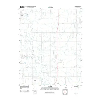
2010 Map of Sperry
USGS Topo · Published 2010About this map
Bird Creek meanders through the central terrain of this Oklahoma quadrangle, defining a landscape where the northern reaches of Tulsa meet smaller settlements like Sperry and Skiatook. The area is characterized by a dense network of sectional roads and a collection of family and local burial grounds, including Chisholm Cemetery, Skybuck Cemetery, and Charley Cemetery, which provide significant points of interest for genealogical research.
Find a feature on this map
30 named features on this map. Tap any name to fly to it.
Don’t see what you’re looking for? This feature index may not catch every label — zoom into the map to look around manually.
Map Details
Editions of this 2010 Sperry Map
This is the sole edition of this map. No revisions or reprints were ever made.
Other maps of this area

1901 · Claremore
USGS Topo · 1:125,000

1912 · Hominy
USGS Topo · 1:125,000

1914 · Claremore
USGS Topo · 1:125,000

1915 · Hominy
USGS Topo · 1:125,000

1916 · Claremore
USGS Topo · 1:125,000

1954 · Tulsa
USGS Topo · 1:250,000

1954 · Tulsa
USGS Topo · 1:24,000

1955 · Sperry
USGS Topo · 1:24,000

1955 · Mingo
USGS Topo · 1:24,000

1955 · Enid
USGS Topo · 1:250,000