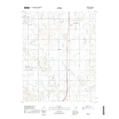
2019 Map of Sperry
USGS Topo · Published 2019About this map
The northern reaches of Tulsa County are anchored by Collinsville and Skiatook, where the suburban fringe of the metropolitan area meets the agricultural and riverine landscape of northeastern Oklahoma. The drainage of Bird Creek and its various tributaries, including Charley Cr and Delaware Cr, dictates the physical layout of the territory, culminating in the prominent Horseshoe Bend south of Skiatook. This 2019 survey documents a landscape heavily influenced by the section line road grid, with major thoroughfares like the Cherokee Expy and E 126th St N providing modern connectivity across old township lines.
Find a feature on this map
54 named features on this map. Tap any name to fly to it.
Don’t see what you’re looking for? This feature index may not catch every label — zoom into the map to look around manually.
Map Details
Editions of this 2019 Sperry Map
This is the sole edition of this map. No revisions or reprints were ever made.
Other maps of this area

1901 · Claremore
USGS Topo · 1:125,000

1912 · Hominy
USGS Topo · 1:125,000

1914 · Claremore
USGS Topo · 1:125,000

1915 · Hominy
USGS Topo · 1:125,000

1916 · Claremore
USGS Topo · 1:125,000

1954 · Tulsa
USGS Topo · 1:250,000

1954 · Tulsa
USGS Topo · 1:24,000

1955 · Sperry
USGS Topo · 1:24,000

1955 · Mingo
USGS Topo · 1:24,000

1955 · Enid
USGS Topo · 1:250,000