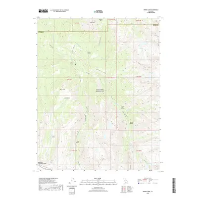
2018 Map of Sphinx Lakes
USGS Topo · Published 2018About this map
Kings Canyon National Park and Sequoia National Park meet in this high-altitude landscape where the Great Western Divide and Kings-Kaweah Divide define the drainage patterns of the High Sierra. The terrain is characterized by deep glacial carving, evident in the expansive Cloud Canyon and Deadman Canyon. Water is the primary architect here, from the headwaters of the Roaring River to the cluster of high-elevation basins such as the Sphinx Lakes, Big Brewer Lake, and Talus Lake.
Find a feature on this map
48 named features on this map. Tap any name to fly to it.
Don’t see what you’re looking for? This feature index may not catch every label — zoom into the map to look around manually.
Map Details
Editions of this 2018 Sphinx Lakes Map
This is the sole edition of this map. No revisions or reprints were ever made.
Other maps of this area

1903 · Tehipite
USGS Topo · 1:125,000

1905 · Tehipite
USGS Topo · 1:125,000

1907 · Mt. Whitney
USGS Topo · 1:125,000

1919 · Mt. Whitney
USGS Topo · 1:125,000

1937 · Mt. Whitney
USGS Topo · 1:125,000

1948 · Fresno
USGS Topo · 1:250,000

1953 · Mt. Pinchot
USGS Topo · 1:62,500

1953 · Marion Peak
USGS Topo · 1:62,500

1955 · Fresno
USGS Topo · 1:250,000

1956 · Fresno
USGS Topo · 1:250,000