
1961 Map of Spider Lake
USGS Topo · Published 1964About this map
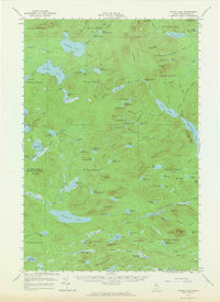
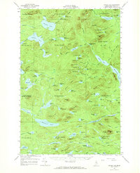
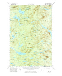
Spider Lake and the surrounding wilderness of Piscataquis County are defined by a complex network of glacial ponds and prominent ridges in this early 1960s survey. The landscape is a haven for timber management and fire watch operations, evidenced by the State Forest Service Camp and a Lookout Tower situated on Beetle Mtn. Navigating the terrain is facilitated by a historic Tote Road that skirts the southern reaches near the East Branch Ridge. Large water bodies like Munsungan Lake and Pleasant Lake anchor the various townships, while smaller features such as First Currier Pond and Ragged Pond dot the heavily wooded interior. This map captures the remote character of Northern Maine before modern development, showing the specific township and range boundaries like T 9 R 11 Wels that still govern land division in the North Maine Woods.
Find a feature on this map
122 named features on this map. Tap any name to fly to it.
Don’t see what you’re looking for? This feature index may not catch every label — zoom into the map to look around manually.
Map Details
Editions of this 1961 Spider Lake Map
4 editions found
Other maps of this area

1931 · Mooseleuk Lake
USGS Topo · 1:48,000

1932 · Umsaskis Lake
USGS Topo · 1:48,000

1932 · Musquacook Lakes
USGS Topo · 1:48,000

1935 · Umsaskis Lake
USGS Topo · 1:62,500

1935 · Musquacook Lakes
USGS Topo · 1:62,500

1935 · Mooseleuk Lake
USGS Topo · 1:62,500

1953 · Telos Lake
USGS Topo · 1:62,500

1954 · Chesuncook
USGS Topo · 1:62,500

1954 · Spider Lake
USGS Topo · 1:62,500

1954 · Churchill Lake
USGS Topo · 1:62,500