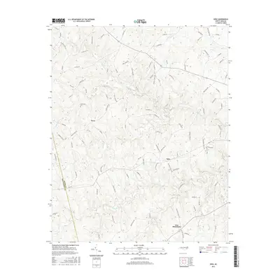
2016 Map of Spies
USGS Topo · Published 2016About this map
Spies and West Philadelphia anchor this mid-2010s landscape on the boundary between Moore County and Montgomery County. The area is defined by a dense network of minor waterways including Cabin Creek, Bear Creek, and Wolf Creek, which create a complex system of ridges and valleys. While the settlement at Dover remains a focal point for the western half of the map, much of the terrain is crisscrossed by namesake family roads such as W Chrisco Road, Cagle Road, and Atkinson Farm Road. The inclusion of the Shamburger Cemetery and numerous named creeks provides critical geographic markers for local family history researchers. The road network, though modernized, follows old corridors that connect small community clusters like West Philadelphia to the broader rural hinterland of North Carolina's Piedmont.
Find a feature on this map
104 named features on this map. Tap any name to fly to it.
Don’t see what you’re looking for? This feature index may not catch every label — zoom into the map to look around manually.
Map Details
Editions of this 2016 Spies Map
This is the sole edition of this map. No revisions or reprints were ever made.
Other maps of this area

1942 · Troy
USGS Topo · 1:125,000

1953 · Raleigh
USGS Topo · 1:250,000

1954 · Raleigh
USGS Topo · 1:250,000

1957 · Troy
USGS Topo · 1:62,500

1957 · Asheboro
USGS Topo · 1:62,500

1968 · Erect
USGS Topo · 1:24,000

1968 · Bennett
USGS Topo · 1:24,000

1973 · Seagrove
USGS Topo · 1:24,000

1974 · Candor
USGS Topo · 1:24,000
1977 · Robbins
USGS Topo · 1:24,000