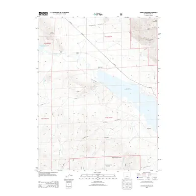
2013 Map of Spinney Mountain
USGS Topo · Published 2013About this map
The South Platte River winds through this high-altitude basin, feeding two major water management features that dominate the local landscape. The Spinney Mountain Reservoir and Elevenmile Canyon Reservoir serve as central landmarks, with the former partially enclosed by 11 Mile State Park. The surrounding terrain is defined by the Puma Hills and significant peaks such as Spinney Mountain and Stoll Mountain within the Pike National Forest.
Find a feature on this map
34 named features on this map. Tap any name to fly to it.
Don’t see what you’re looking for? This feature index may not catch every label — zoom into the map to look around manually.
Map Details
Editions of this 2013 Spinney Mountain Map
This is the sole edition of this map. No revisions or reprints were ever made.
Other maps of this area

1893 · Platte Canyon
USGS Topo · 1:125,000

1894 · Pikes Peak
USGS Topo · 1:125,000

1901 · Pikes Peak
USGS Topo · 1:125,000

1953 · Denver
USGS Topo · 1:250,000

1954 · Pueblo
USGS Topo · 1:250,000

1956 · Tarryall
USGS Topo · 1:24,000

1956 · Sulphur Mountain
USGS Topo · 1:24,000

1956 · Elevenmile Canyon
USGS Topo · 1:24,000

1956 · Guffey NW
USGS Topo · 1:24,000

1956 · Glentivar
USGS Topo · 1:24,000