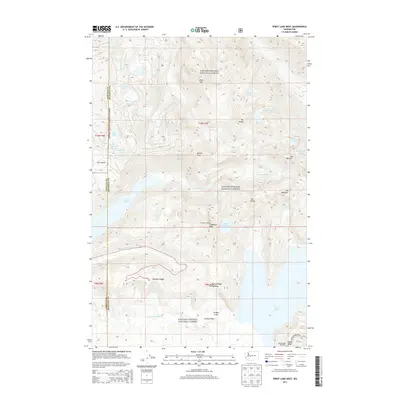
2013 Map of Spirit Lake West
USGS Topo · Published 2013About this map
Coldwater Lake and the sweeping Pumice Plain dominate this landscape within the Gifford Pinchot National Forest, illustrating a terrain fundamentally altered by geological forces. The map detail highlights the dramatic recovery and hydrological changes in the wake of volcanic activity, showing the formation of newer water bodies alongside established ones like Saint Helens Lake and the northwestern edge of Spirit Lake.
Find a feature on this map
41 named features on this map. Tap any name to fly to it.
Don’t see what you’re looking for? This feature index may not catch every label — zoom into the map to look around manually.
Map Details
Editions of this 2013 Spirit Lake West Map
This is the sole edition of this map. No revisions or reprints were ever made.
Other maps of this area

1919 · Mount St Helens
USGS Topo · 1:125,000

1953 · Hoquiam
USGS Topo · 1:250,000

1953 · Cougar
USGS Topo · 1:62,500

1953 · Elk Rock
USGS Topo · 1:62,500

1957 · Hoquiam
USGS Topo · 1:250,000

1957 · Spirit Lake
USGS Topo · 1:62,500

1958 · Mt St. Helens
USGS Topo · 1:62,500

1958 · Hoquiam
USGS Topo · 1:250,000

1962 · Hoquiam
USGS Topo · 1:250,000
1975 · Mt. St. Helens NE
USGS Topo · 1:24,000