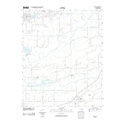
2010 Map of Spiro
USGS Topo · Published 2010About this map
Skullyville and Spiro anchor the northern reaches of this landscape, where the Poteau River winds through the valley. The map reveals a transition from the structured street grids of Spiro to the more dispersed rural communities of Tahona, Williams, and Cameron further south. Water management is a central theme, evidenced by Old Spiro Lake and New Spiro Lake, both secured by their respective dams. The terrain is marked by significant hydrological features like Holi-Tuska Creek and the James Fork, which drain the lowlands surrounding Cameron Mountain. Local heritage is preserved in sites such as New Hope Cemetery and French Cemetery, situated along a network of county roads like Old Pocola Rd that historically connected these LeFlore County settlements.
Find a feature on this map
65 named features on this map. Tap any name to fly to it.
Don’t see what you’re looking for? This feature index may not catch every label — zoom into the map to look around manually.
Map Details
Editions of this 2010 Spiro Map
This is the sole edition of this map. No revisions or reprints were ever made.
Other maps of this area

1879 · Fort Smith
USGS Topo · 1:62,500

1887 · Van Buren
USGS Topo · 1:62,500

1887 · Greenwood
USGS Topo · 1:62,500

1890 · Fort Smith
USGS Topo · 1:125,000

1900 · Sallisaw
USGS Topo · 1:125,000

1911 · Sallisaw
USGS Topo · 1:125,000

1943 · Fort Smith
USGS Topo · 1:125,000

1946 · Fort Smith
USGS Topo · 1:250,000

1947 · Van Buren
USGS Topo · 1:62,500

1947 · Greenwood
USGS Topo · 1:62,500