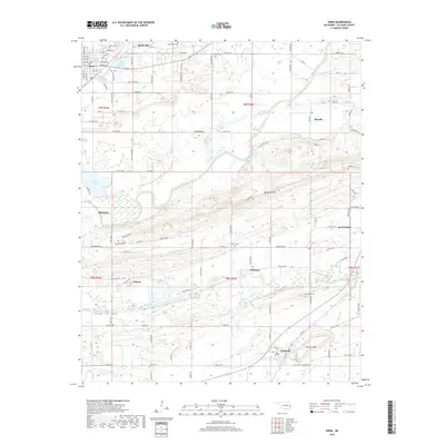
2018 Map of Spiro
USGS Topo · Published 2018About this map
The Poteau River winds through the heart of this Le Flore County landscape, defining the lowlands between the prominent ridges of Backbone Mtn and Cameron Mtn. The settlement pattern reflects a transition from historic tribal centers like Skullyville to rail-aligned towns such as Spiro, which sits at the junction of several local routes. The Kansas City Southern railroad serves as a primary industrial artery, passing through the village of Tahona and connecting the region's agricultural and mining interests.
Find a feature on this map
53 named features on this map. Tap any name to fly to it.
Don’t see what you’re looking for? This feature index may not catch every label — zoom into the map to look around manually.
Map Details
Editions of this 2018 Spiro Map
This is the sole edition of this map. No revisions or reprints were ever made.
Other maps of this area

1879 · Fort Smith
USGS Topo · 1:62,500

1887 · Van Buren
USGS Topo · 1:62,500

1887 · Greenwood
USGS Topo · 1:62,500

1890 · Fort Smith
USGS Topo · 1:125,000

1900 · Sallisaw
USGS Topo · 1:125,000

1911 · Sallisaw
USGS Topo · 1:125,000

1943 · Fort Smith
USGS Topo · 1:125,000

1946 · Fort Smith
USGS Topo · 1:250,000

1947 · Van Buren
USGS Topo · 1:62,500

1947 · Greenwood
USGS Topo · 1:62,500