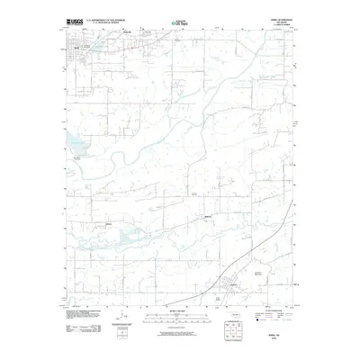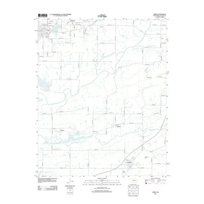
2022 Map of Spiro
USGS Topo · Published 2022About this map
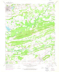
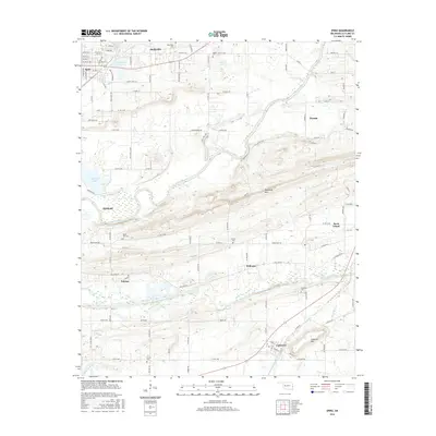
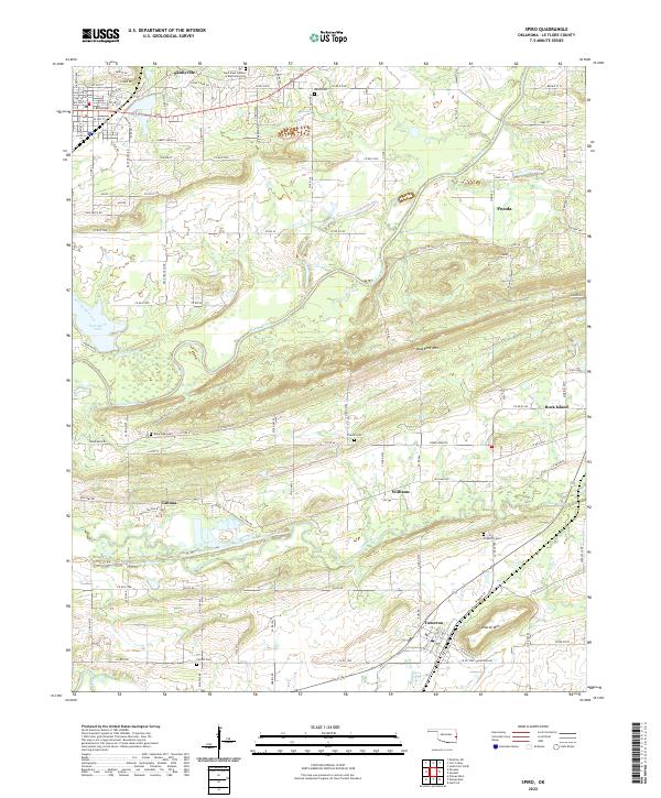
The Poteau River winds through the heart of this landscape, separating the flat northern plains near Skullyville from the prominent ridges of Backbone Mtn to the south. This area of Le Flore County is defined by its small, clustered settlements including Pocola, Rock Island, and Tahona, each linked by a network of rural roads such as Race Track Rd and Poker Bend Rd. For family historians, the map is a dense record of local burial sites, from Fairhill Cem and Greenhill Cem near Cameron to the New Hope Garden of Memories Cem in the north.
Find a feature on this map
122 named features on this map. Tap any name to fly to it.
Don’t see what you’re looking for? This feature index may not catch every label — zoom into the map to look around manually.
Map Details
Editions of this 2022 Spiro Map
This is the sole edition of this map. No revisions or reprints were ever made.
Historical Maps of Poteau Through Time
6 maps found