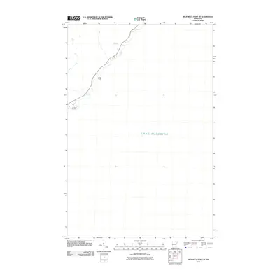
2010 Map of Split Rock Point NE
USGS Topo · Published 2010About this map
Split Rock Lighthouse stands as the primary landmark on this 2010 coastal survey of the North Shore. The map documents the immediate vicinity of this historic navigational aid where it meets the vast expanse of Lake Superior. The rugged shoreline is defined by notable outcrops such as Gull Rock, which sits just offshore. This survey highlights the narrow corridor of land between the lakeshore and the inland topography of Lake County, Minnesota, showing the transportation routes and coastal features as they existed in the early twenty-first century.
Find a feature on this map
3 named features on this map. Tap any name to fly to it.
Don’t see what you’re looking for? This feature index may not catch every label — zoom into the map to look around manually.
Map Details
Editions of this 2010 Split Rock Point NE Map
This is the sole edition of this map. No revisions or reprints were ever made.
Other maps of this area

1954 · Silver Bay
USGS Topo · 1:62,500

1954 · Two Harbors
USGS Topo · 1:250,000

1956 · Split Rock Point
USGS Topo · 1:24,000

1956 · Finland
USGS Topo · 1:62,500

1956 · Illgen City
USGS Topo · 1:24,000

1956 · Split Rock Point
USGS Topo · 1:62,500

1956 · Split Rock Point NE
USGS Topo · 1:24,000

1957 · Two Harbors
USGS Topo · 1:250,000

1958 · Two Harbors
USGS Topo · 1:250,000

1964 · Two Harbors
USGS Topo · 1:250,000