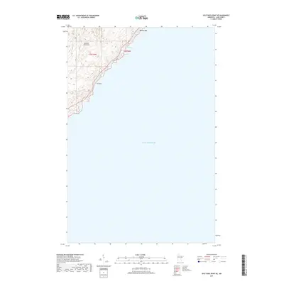
2019 Map of Split Rock Point NE
USGS Topo · Published 2019About this map
Lake Superior dominates this portion of the North Shore, where the dramatic elevation changes of the Sawtooth Mountains meet the cold waters of the world's largest freshwater lake. Near the historic settlement of Beaver Bay, the shoreline is defined by rocky points and sheltered inlets such as Islet Bay and Pine Bay. The topography here is characterized by steep ridges that rise sharply from the water's edge, a defining feature of the Lake County coast. Gull Rock stands as a prominent landmark just offshore, while the Pine Bay Loop provides access through the timbered terrain above the lake. This 2019 survey documents the interface between the high ridges and the deep water, capturing the modern road network and coastal features before they reach the higher peaks of the range further inland.
Find a feature on this map
8 named features on this map. Tap any name to fly to it.
Don’t see what you’re looking for? This feature index may not catch every label — zoom into the map to look around manually.
Map Details
Editions of this 2019 Split Rock Point NE Map
This is the sole edition of this map. No revisions or reprints were ever made.
Other maps of this area

1954 · Silver Bay
USGS Topo · 1:62,500

1954 · Two Harbors
USGS Topo · 1:250,000

1956 · Split Rock Point
USGS Topo · 1:24,000

1956 · Finland
USGS Topo · 1:62,500

1956 · Illgen City
USGS Topo · 1:24,000

1956 · Split Rock Point
USGS Topo · 1:62,500

1956 · Split Rock Point NE
USGS Topo · 1:24,000

1957 · Two Harbors
USGS Topo · 1:250,000

1958 · Two Harbors
USGS Topo · 1:250,000

1964 · Two Harbors
USGS Topo · 1:250,000