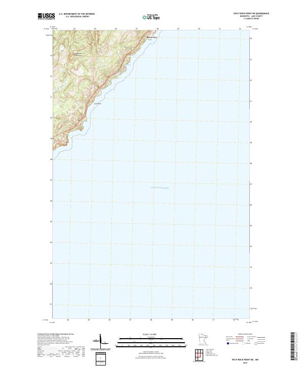
2022 Map of Split Rock Point NE
USGS Topo · Published 2022About this map
Lake Superior dominates the eastern half of this survey, defining the rocky shoreline where the Sawtooth Mountains meet the water. The historic settlement of Beaver Bay sits at the northern edge of the map, established near the mouth of the Beaver River. The coastline is characterized by intricate landforms, including Islet Bay, Pine Bay, and the offshore landmark of Gull Rock. This 2022 topographic study documents the interface between the rugged upland terrain and the harbor areas that have long supported the North Shore's maritime and timber interests. Infrastructure is concentrated along the coastal corridor, notably the Pine Bay Loop, while the interior remains dominated by the steep ridges of the Sawtooth range within Township 55 North, Range 8 West.
Find a feature on this map
8 named features on this map. Tap any name to fly to it.
Don’t see what you’re looking for? This feature index may not catch every label — zoom into the map to look around manually.
Map Details
Editions of this 2022 Split Rock Point NE Map
This is the sole edition of this map. No revisions or reprints were ever made.
Other maps of this area

1954 · Silver Bay
USGS Topo · 1:62,500

1954 · Two Harbors
USGS Topo · 1:250,000

1956 · Split Rock Point
USGS Topo · 1:24,000

1956 · Finland
USGS Topo · 1:62,500

1956 · Illgen City
USGS Topo · 1:24,000

1956 · Split Rock Point
USGS Topo · 1:62,500

1956 · Split Rock Point NE
USGS Topo · 1:24,000

1957 · Two Harbors
USGS Topo · 1:250,000

1958 · Two Harbors
USGS Topo · 1:250,000

1964 · Two Harbors
USGS Topo · 1:250,000