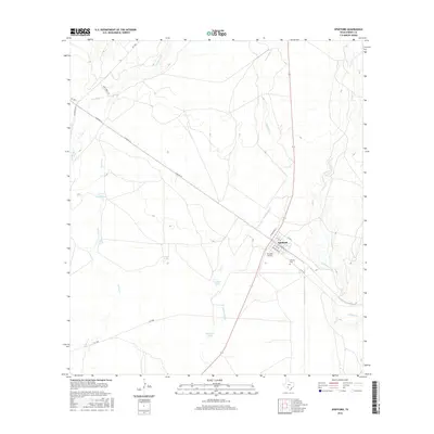
2016 Map of Spofford
USGS Topo · Published 2016About this map
The settlement of Spofford serves as the focal point of this Kinney County landscape, where the intersection of Standart Rd and local rail-related streets like N Railroad St and S Railroad St define the community layout. Situated in a semi-arid region of South Texas, the area is characterized by an extensive network of ephemeral drainage systems including Las Moras Cr, Salado Cr, and Imperialist Cr. The reliance on water management is evident through numerous named stock tanks such as Gaebler Tanks, Double Tank, and Red Barn Tank, which dot the terrain between ranch access roads like Las Moras Rd and RM 3348. Near the town center, Frontier Airport and the Vincent Cem provide historical touchpoints for researchers tracing the development of local infrastructure and genealogy in this cattle-ranching territory.
Find a feature on this map
27 named features on this map. Tap any name to fly to it.
Don’t see what you’re looking for? This feature index may not catch every label — zoom into the map to look around manually.
Map Details
Editions of this 2016 Spofford Map
This is the sole edition of this map. No revisions or reprints were ever made.
Other maps of this area

1896 · Brackett
USGS Topo · 1:125,000

1897 · Brackett
USGS Topo · 1:125,000

1941 · Standart
USGS Topo · 1:62,500

1941 · Tequesquite Creek
USGS Topo · 1:62,500

1943 · Standart
USGS Topo · 1:62,500

1944 · Tequesquite Creek
USGS Topo · 1:62,500

1944 · Spofford
USGS Topo · 1:62,500

1944 · Brackettville
USGS Topo · 1:62,500

1958 · Del Rio
USGS Topo · 1:250,000

1964 · Del Rio
USGS Topo · 1:250,000