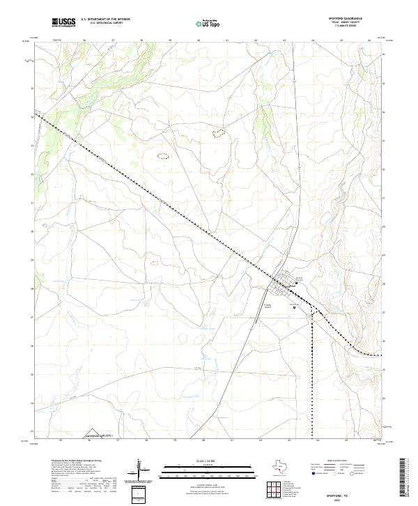
2022 Map of Spofford
USGS Topo · Published 2022About this map
Spofford serves as the focal point of this Kinney County landscape, situated at a historic rail junction where N Railroad St and Anacacho Rd converge. The settlement is flanked by essential community sites, including the Spofford City Cem and Vincent Cem, which offer significant value for genealogical research in this part of South Texas. The surrounding terrain is defined by a network of intermittent waterways such as Imperialist Cr, Lindsey Cr, and Las Moras Cr, reflecting the semi-arid ranching environment of the region.
Find a feature on this map
25 named features on this map. Tap any name to fly to it.
Don’t see what you’re looking for? This feature index may not catch every label — zoom into the map to look around manually.
Map Details
Editions of this 2022 Spofford Map
This is the sole edition of this map. No revisions or reprints were ever made.
Other maps of this area

1896 · Brackett
USGS Topo · 1:125,000

1897 · Brackett
USGS Topo · 1:125,000

1941 · Standart
USGS Topo · 1:62,500

1941 · Tequesquite Creek
USGS Topo · 1:62,500

1943 · Standart
USGS Topo · 1:62,500

1944 · Tequesquite Creek
USGS Topo · 1:62,500

1944 · Spofford
USGS Topo · 1:62,500

1944 · Brackettville
USGS Topo · 1:62,500

1958 · Del Rio
USGS Topo · 1:250,000

1964 · Del Rio
USGS Topo · 1:250,000