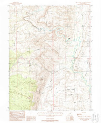
1988 Map of Spotted Wolf Canyon
USGS Topo · Published 1988About this map
The San Rafael Reef forms a massive geological barrier across this portion of Emery County, Utah, where the San Rafael River carves through the landscape at the Black Box. The map documents a topography of narrow passages and expansive plateaus, notably The Squeeze and the broad Shadscale Mesa. Historical movement through this difficult terrain is marked by points such as Swazys Leap and the winding Black Dragon Wash.
Find a feature on this map
23 named features on this map. Tap any name to fly to it.
Don’t see what you’re looking for? This feature index may not catch every label — zoom into the map to look around manually.
Map Details
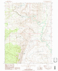
Editions of this 1988 Spotted Wolf Canyon Map
2 editions found
Other maps of this area

1885 · San Rafael
USGS Topo · 1:250,000

1886 · Price River
USGS Topo · 1:250,000

1896 · Price River
USGS Topo · 1:250,000

1953 · Red Plateau SE
USGS Topo · 1:24,000

1953 · Tidwell 2 SW
USGS Topo · 1:24,000

1953 · Beckwith Peak SW
USGS Topo · 1:24,000

1953 · Tidwell 2 NW
USGS Topo · 1:24,000

1954 · Stinking Spring Creek 1 SE
USGS Topo · 1:24,000

1954 · Stinking Spring Creek 1 NE
USGS Topo · 1:24,000

1954 · Tidwell 2 SE
USGS Topo · 1:24,000