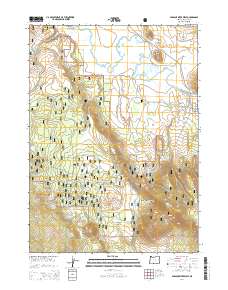
2014 Map of Sprague River West
USGS Topo · Published 2014About this map
The Sprague River Valley of Klamath County is defined by its meandering watercourses and volcanic topography within the Winema National Forest. This 2014 survey documents the small settlement of Sprague River situated at the junction of the main river and the historic OC&E-Woods Line State Trl, a corridor that traces the path of a former logging railroad. The landscape is punctuated by distinctive landforms such as the Buttes of the Gods, Eagle Butte, and Cruikshank Butte, illustrating the geologically complex terrain of the Oregon high country. Water sources are critical in this environment, evidenced by named features like South Boundary Spring, Cowboy Spring, and Calico Spring. The map further details the remote infrastructure of the region, from the high-elevation Riddle Field to the network of forest development roads that traverse Switchback Hill and Switchback Flat.
Find a feature on this map
39 named features on this map. Tap any name to fly to it.
Don’t see what you’re looking for? This feature index may not catch every label — zoom into the map to look around manually.
Map Details
Editions of this 2014 Sprague River West Map
This is the sole edition of this map. No revisions or reprints were ever made.
Other maps of this area

1889 · Klamath
USGS Topo · 1:250,000

1894 · Klamath
USGS Topo · 1:250,000

1955 · Klamath Falls
USGS Topo · 1:250,000

1956 · Calimus Butte
USGS Topo · 1:62,500

1957 · Swan Lake
USGS Topo · 1:62,500

1958 · Klamath Falls
USGS Topo · 1:250,000

1960 · Beatty
USGS Topo · 1:62,500

1960 · Fuego Mountain
USGS Topo · 1:62,500

1980 · Williamson River
USGS Topo · 1:100,000
1985 · Sprague River West
USGS Topo · 1:24,000