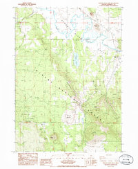
1985 Map of Sprague River West
USGS Topo · Published 1985About this map
The Sprague River meanders through a broad valley in southern Oregon, creating a distinct riparian corridor surrounded by the dense timber of the Winema National Forest. This 1980s landscape is defined by its varied topography, featuring volcanic landmarks like Buttes of the Gods, Watchdog Butte, and Eagle Butte that overlook the river plain. The map reveals the functional use of the forest and its fringes, from the gas pipeline and Oregon Pipeline corridors to the gravel and borrow pits that supported local infrastructure.
Find a feature on this map
36 named features on this map. Tap any name to fly to it.
Don’t see what you’re looking for? This feature index may not catch every label — zoom into the map to look around manually.
Map Details
Editions of this 1985 Sprague River West Map
This is the sole edition of this map. No revisions or reprints were ever made.
Other maps of this area

1889 · Klamath
USGS Topo · 1:250,000

1894 · Klamath
USGS Topo · 1:250,000

1955 · Klamath Falls
USGS Topo · 1:250,000

1956 · Calimus Butte
USGS Topo · 1:62,500

1957 · Swan Lake
USGS Topo · 1:62,500

1958 · Klamath Falls
USGS Topo · 1:250,000

1960 · Beatty
USGS Topo · 1:62,500

1960 · Fuego Mountain
USGS Topo · 1:62,500

1980 · Williamson River
USGS Topo · 1:100,000
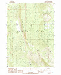
1985 · Swan Lake Point
USGS Topo · 1:24,000