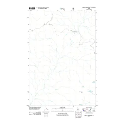
2011 Map of Spread Creek Point
USGS Topo · Published 2011About this map
Bargamin Creek and its many tributaries define this high-elevation Idaho landscape, where the drainage network reaches from the northern heights near Poet Creek to the southern waters of Lake Creek. The topography is shaped by prominent peaks such as Grouse Creek Point and Spread Creek Point, which anchor the central and southern reaches of the quadrangle. Human impact is concentrated along a few forest access routes, most notably the historic Nez Perce Trail Rd and Montana Rd. These roads provide the only reliable access to secluded backcountry destinations like the Poet Creek Campground. High alpine basins tucked between the ridges hold several small water bodies, including Upper Trilby Lake, Bleak Creek Lake, and Saddle Lake, marking the headwaters of the region's complex stream system.
Find a feature on this map
24 named features on this map. Tap any name to fly to it.
Don’t see what you’re looking for? This feature index may not catch every label — zoom into the map to look around manually.
Map Details
Editions of this 2011 Spread Creek Point Map
This is the sole edition of this map. No revisions or reprints were ever made.
Other maps of this area

1956 · Elk City
USGS Topo · 1:250,000

1960 · Elk City
USGS Topo · 1:250,000

1966 · Green Mtn.
USGS Topo · 1:24,000

1966 · Three Prong Mountain
USGS Topo · 1:24,000

1966 · Sable Hill
USGS Topo · 1:24,000

1977 · Boston Mtn
USGS Topo · 1:24,000

1978 · Spread Creek Point
USGS Topo · 1:24,000

1978 · Dennis Mtn
USGS Topo · 1:24,000

1978 · Hida Point
USGS Topo · 1:24,000

1978 · Sheep Hill
USGS Topo · 1:24,000