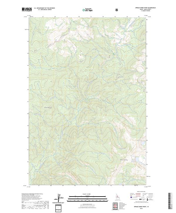
2024 Map of Spread Creek Point
USGS Topo · Published 2024About this map
Nez Perce National Forest dominates this high-elevation landscape, where the rugged topography is defined by the Frank Church-River of No Return Wilderness. The map reveals a complex network of drainage basins, with Bargamin Creek and its many tributaries, including Poet Creek and Cache Creek, carving deep through the terrain. Evidence of early access and historical transit is seen in the high ridgeline routes of Montana Rd and Elk Mountain Rd, which snake across the northern sections near Grouse Creek Point. The presence of Nez Perce Trail Rd in the northeast suggests the persistence of historic corridors through these mountains. Isolated alpine water bodies like Upper Trilby Lake, Spread Point Lake, and Bleak Gr Lake are tucked into the high basins, emphasizing the remote and pristine nature of this protected wilderness area.
Find a feature on this map
30 named features on this map. Tap any name to fly to it.
Don’t see what you’re looking for? This feature index may not catch every label — zoom into the map to look around manually.
Map Details
Editions of this 2024 Spread Creek Point Map
This is the sole edition of this map. No revisions or reprints were ever made.
Other maps of this area

1956 · Elk City
USGS Topo · 1:250,000

1960 · Elk City
USGS Topo · 1:250,000

1966 · Green Mtn.
USGS Topo · 1:24,000

1966 · Three Prong Mountain
USGS Topo · 1:24,000

1966 · Sable Hill
USGS Topo · 1:24,000

1977 · Boston Mtn
USGS Topo · 1:24,000

1978 · Spread Creek Point
USGS Topo · 1:24,000

1978 · Dennis Mtn
USGS Topo · 1:24,000

1978 · Hida Point
USGS Topo · 1:24,000

1978 · Sheep Hill
USGS Topo · 1:24,000