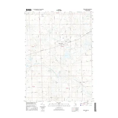
2017 Map of Spring Arbor
USGS Topo · Published 2017About this map
Spring Arbor serves as the central hub of this Jackson County landscape, situated where Spring Arbor Rd meets a network of local routes like Dearing Rd and Moscow Rd. The area is defined by its complex hydrography, featuring the headwaters of the North Branch Kalamazoo River and its various tributaries including Sandstone Cr and Bateman Drain. To the southeast, the village of Horton sits near the winding course of the Mitchell Drain, illustrating the traditional settlement patterns typical of southern Michigan's glacial till plains.
Find a feature on this map
82 named features on this map. Tap any name to fly to it.
Don’t see what you’re looking for? This feature index may not catch every label — zoom into the map to look around manually.
Map Details
Editions of this 2017 Spring Arbor Map
This is the sole edition of this map. No revisions or reprints were ever made.
Other maps of this area

1919 · Springport
USGS Topo · 1:62,500

1919 · Rives Junction
USGS Topo · 1:62,500

1921 · Rives Junction
USGS Topo · 1:62,500

1921 · Springport
USGS Topo · 1:62,500

1935 · Jackson
USGS Topo · 1:48,000

1939 · Jackson
USGS Topo · 1:62,500

1948 · Spring Arbor
USGS Topo · 1:62,500

1949 · Spring Arbor
USGS Topo · 1:62,500

1958 · Grand Rapids
USGS Topo · 1:250,000

1961 · Grand Rapids
USGS Topo · 1:250,000
Featured Places
- Spring Arbor Township, MI
- Spring Arbor, Spring Arbor Township
- Hanover Township, MI
- Cross Mills, Spring Arbor Township
- Horton, MI