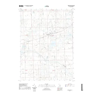
2019 Map of Spring Arbor
USGS Topo · Published 2019About this map
Spring Arbor University serves as a central anchor in this southern Michigan landscape, situated where Spring Arbor Rd and King Rd converge. The topography is defined by the winding course of the North Branch Kalamazoo River and its various tributaries, including the Bateman Drain and Pretty Br Drain. These water systems connect a series of small basins such as Reynolds Lake and the Spring Arbor Lakes, reflecting the post-glacial drainage patterns typical of the region.
Find a feature on this map
85 named features on this map. Tap any name to fly to it.
Don’t see what you’re looking for? This feature index may not catch every label — zoom into the map to look around manually.
Map Details
Editions of this 2019 Spring Arbor Map
This is the sole edition of this map. No revisions or reprints were ever made.
Other maps of this area

1919 · Springport
USGS Topo · 1:62,500

1919 · Rives Junction
USGS Topo · 1:62,500

1921 · Rives Junction
USGS Topo · 1:62,500

1921 · Springport
USGS Topo · 1:62,500

1935 · Jackson
USGS Topo · 1:48,000

1939 · Jackson
USGS Topo · 1:62,500

1948 · Spring Arbor
USGS Topo · 1:62,500

1949 · Spring Arbor
USGS Topo · 1:62,500

1958 · Grand Rapids
USGS Topo · 1:250,000

1961 · Grand Rapids
USGS Topo · 1:250,000
Featured Places
- Spring Arbor Township, MI
- Spring Arbor, Spring Arbor Township
- Hanover Township, MI
- Cross Mills, Spring Arbor Township
- Horton, MI