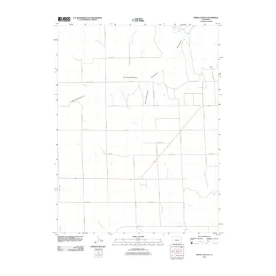
2010 Map of Spring Canyon
USGS Topo · Published 2010About this map
Arikaree River headwaters and a complex network of dry drainage basins define this portion of Yuma County. The landscape is structured by a rigid section-line road system, including County Rd-10 and County Road W, which service a territory dominated by ranching and agriculture. The convergence of the North Fork Spring Canyon and South Fork Spring Canyon forms the primary Spring Canyon drainage, illustrating the natural erosion patterns typical of the High Plains.
Find a feature on this map
26 named features on this map. Tap any name to fly to it.
Don’t see what you’re looking for? This feature index may not catch every label — zoom into the map to look around manually.
Map Details
Editions of this 2010 Spring Canyon Map
This is the sole edition of this map. No revisions or reprints were ever made.
Other maps of this area

1954 · Limon
USGS Topo · 1:250,000

1957 · Limon
USGS Topo · 1:250,000

1958 · Limon
USGS Topo · 1:250,000

1963 · Wildcat Canyon
USGS Topo · 1:24,000

1968 · Abarr SE
USGS Topo · 1:24,000

1968 · Vernon SW
USGS Topo · 1:24,000

1968 · Spring Canyon
USGS Topo · 1:24,000

1968 · Adler Creek
USGS Topo · 1:24,000

1968 · Idalia
USGS Topo · 1:24,000

1969 · Idalia SE
USGS Topo · 1:24,000