
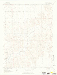
1963 Map of Wildcat Canyon
USGS Topo · Published 1965About this map
The Arikaree River carves a distinct path through this section of Yuma County, defining a landscape of canyons and tributary drainages during the early 1960s. The terrain is marked by the deep incisions of Wildcat Canyon and the winding course of Copperkettle Creek, showing a transition from the flatter uplands into the broken country of the river valley. Sparse ranching outposts like the McCoy Ranch and Mullin Ranch represent the primary human presence in this arid region, where land use is closely tied to water sources and topography. Surveyed as part of a Missouri River Basin development program, the map documents a network of unimproved roads and sectional fences that connect remote points such as Gerberz. Natural drainage features like Black Wolf Creek and Hay Spring Gulch further illustrate the complex erosional patterns that have shaped the plains of eastern Colorado.
Find a feature on this map
13 named features on this map. Tap any name to fly to it.
Don’t see what you’re looking for? This feature index may not catch every label — zoom into the map to look around manually.
Map Details
Editions of this 1963 Wildcat Canyon Map
2 editions found
Other maps of this area

1950 · Bonny Reservoir
USGS Topo · 1:62,500

1954 · Limon
USGS Topo · 1:250,000

1957 · Limon
USGS Topo · 1:250,000

1958 · Limon
USGS Topo · 1:250,000

1963 · Vernon
USGS Topo · 1:24,000

1963 · Beecher Island
USGS Topo · 1:24,000

1963 · Beecher Island NW
USGS Topo · 1:24,000

1968 · Vernon SW
USGS Topo · 1:24,000

1968 · Bonny Reservoir North
USGS Topo · 1:24,000

1968 · Spring Canyon
USGS Topo · 1:24,000