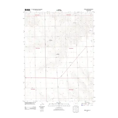
2013 Map of Spring Canyon
USGS Topo · Published 2013About this map
The Arikaree River cuts through the northeastern corner of this Yuma County landscape, anchoring a high plains region defined by deep drainage systems. The namesake Spring Canyon is mapped in significant detail, showing its split into the North Fork Spring Canyon and South Fork Spring Canyon as they carve through the arid terrain. Settlement in this portion of the Eastern Plains is sparse, with the Sharp Ranch serving as a notable named landmark in a region dominated by wide-reaching range land. A strict grid of county roads, including Co Road U and Co Road 10, facilitates movement across the township and range lines. In the southern portion of the map, Us-36 E provides a primary east-west corridor, passing just north of the seasonal N Sand Cr.
Find a feature on this map
31 named features on this map. Tap any name to fly to it.
Don’t see what you’re looking for? This feature index may not catch every label — zoom into the map to look around manually.
Map Details
Editions of this 2013 Spring Canyon Map
This is the sole edition of this map. No revisions or reprints were ever made.
Other maps of this area

1954 · Limon
USGS Topo · 1:250,000

1957 · Limon
USGS Topo · 1:250,000

1958 · Limon
USGS Topo · 1:250,000

1963 · Wildcat Canyon
USGS Topo · 1:24,000

1968 · Abarr SE
USGS Topo · 1:24,000

1968 · Vernon SW
USGS Topo · 1:24,000

1968 · Spring Canyon
USGS Topo · 1:24,000

1968 · Adler Creek
USGS Topo · 1:24,000

1968 · Idalia
USGS Topo · 1:24,000

1969 · Idalia SE
USGS Topo · 1:24,000