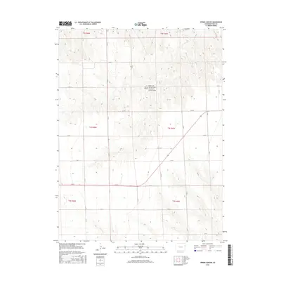
2016 Map of Spring Canyon
USGS Topo · Published 2016About this map
North Fork Spring Canyon and South Fork Spring Canyon carve through the high plains of eastern Yuma County, revealing the intricate drainage patterns of this semi-arid landscape. This 2016 survey highlights a rigid section-line grid of rural roads, including Co RD 11, Co RD 10, and Co RD 9, which define the agricultural and ranching boundaries of the region. The map captures the subtle topography where the land falls away toward N Sand Cr in the southern portion of the quadrangle. While modern in its production, the map preserves the foundational Public Land Survey System township and range lines, such as t4s r45w, that have dictated land ownership in eastern Colorado since the initial homesteading era.
Find a feature on this map
25 named features on this map. Tap any name to fly to it.
Don’t see what you’re looking for? This feature index may not catch every label — zoom into the map to look around manually.
Map Details
Editions of this 2016 Spring Canyon Map
This is the sole edition of this map. No revisions or reprints were ever made.
Other maps of this area

1954 · Limon
USGS Topo · 1:250,000

1957 · Limon
USGS Topo · 1:250,000

1958 · Limon
USGS Topo · 1:250,000

1963 · Wildcat Canyon
USGS Topo · 1:24,000

1968 · Abarr SE
USGS Topo · 1:24,000

1968 · Vernon SW
USGS Topo · 1:24,000

1968 · Spring Canyon
USGS Topo · 1:24,000

1968 · Adler Creek
USGS Topo · 1:24,000

1968 · Idalia
USGS Topo · 1:24,000

1969 · Idalia SE
USGS Topo · 1:24,000