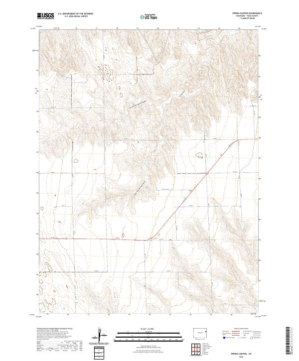
2022 Map of Spring Canyon
USGS Topo · Published 2022About this map
The High Plains of eastern Yuma County are defined by the intricate drainage systems that feed the Republican River basin, most notably the winding paths of Spring Canyon and its tributaries. This 2022 survey details the remote agricultural landscape where North Fork Spring Canyon and South Fork Spring Canyon carve deep, branching coulees into the plateau. The terrain is organized by a rigid section-line road network, including Co Rd 11 and Co Rd 6, which navigates the topographic shifts between the flat uplands and the sandy washes. To the south, the headwaters of N Sand Cr begin their descent, highlighting the hydrology that dictates land use in this corner of Colorado. The map illustrates the persistent intersection of the Public Land Survey System with the natural erosion patterns of the plains, providing a clear record of the area’s rural infrastructure.
Find a feature on this map
26 named features on this map. Tap any name to fly to it.
Don’t see what you’re looking for? This feature index may not catch every label — zoom into the map to look around manually.
Map Details
Editions of this 2022 Spring Canyon Map
This is the sole edition of this map. No revisions or reprints were ever made.
Other maps of this area

1954 · Limon
USGS Topo · 1:250,000

1957 · Limon
USGS Topo · 1:250,000

1958 · Limon
USGS Topo · 1:250,000

1963 · Wildcat Canyon
USGS Topo · 1:24,000

1968 · Abarr SE
USGS Topo · 1:24,000

1968 · Vernon SW
USGS Topo · 1:24,000

1968 · Spring Canyon
USGS Topo · 1:24,000

1968 · Adler Creek
USGS Topo · 1:24,000

1968 · Idalia
USGS Topo · 1:24,000

1969 · Idalia SE
USGS Topo · 1:24,000