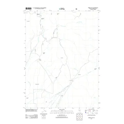
2011 Map of Spring City
USGS Topo · Published 2011About this map
Spring City (historical) anchors this high-desert Nevada landscape, marking the site of a settlement that once thrived along Spring City Creek. The map documents a classic ranching and mining terrain in Humboldt County, where water sources like Wagon Wheel Spring and Secret Spring were vital for survival and industry. The presence of Old Mill Ranch and Ansotegui Ranch reflects the enduring agricultural legacy of the region, situated near the broad expanse of Paradise Valley. Rugged topographical features with evocative names like Gouge Eye and Deadman Gulch illustrate the character of the terrain, while routes like China Rd and the steep China Grade point to the historical movements of people through Spring City Canyon toward the summits of Coal Pit Peak and Buttermilk Summit.
Find a feature on this map
29 named features on this map. Tap any name to fly to it.
Don’t see what you’re looking for? This feature index may not catch every label — zoom into the map to look around manually.
Map Details
Editions of this 2011 Spring City Map
This is the sole edition of this map. No revisions or reprints were ever made.
Other maps of this area

1882 · Paradise
USGS Topo · 1:250,000

1893 · Paradise
USGS Topo · 1:250,000

1945 · Hot Springs
USGS Topo · 1:62,500

1947 · Hot Springs Peak
USGS Topo · 1:62,500

1955 · McDermitt
USGS Topo · 1:250,000

1958 · Paradise Valley
USGS Topo · 1:62,500

1959 · McDermitt
USGS Topo · 1:250,000

1959 · Hinkey Summit
USGS Topo · 1:62,500

1980 · Black Ridge
USGS Topo · 1:24,000

1980 · Hardscrabble
USGS Topo · 1:24,000