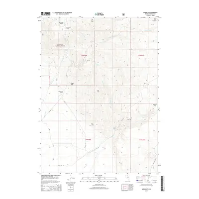
2015 Map of Spring City
USGS Topo · Published 2015About this map
Spring City sits within a complex network of high-altitude drainages and ridges in the Humboldt National Forest. This 2015 topographic study reveals a landscape shaped by water and elevation, from the heights of Coal Pit Peak and Buttermilk Summit down to the carved depths of Spring City Canyon. The map records numerous water sources essential to this high desert environment, including Buttermilk Springs, Wagon Wheel Spring, and Secret Spring, which likely served as critical landmarks for early travelers and ranching operations.
Find a feature on this map
35 named features on this map. Tap any name to fly to it.
Don’t see what you’re looking for? This feature index may not catch every label — zoom into the map to look around manually.
Map Details
Editions of this 2015 Spring City Map
This is the sole edition of this map. No revisions or reprints were ever made.
Other maps of this area

1882 · Paradise
USGS Topo · 1:250,000

1893 · Paradise
USGS Topo · 1:250,000

1945 · Hot Springs
USGS Topo · 1:62,500

1947 · Hot Springs Peak
USGS Topo · 1:62,500

1955 · McDermitt
USGS Topo · 1:250,000

1958 · Paradise Valley
USGS Topo · 1:62,500

1959 · McDermitt
USGS Topo · 1:250,000

1959 · Hinkey Summit
USGS Topo · 1:62,500

1980 · Black Ridge
USGS Topo · 1:24,000

1980 · Hardscrabble
USGS Topo · 1:24,000