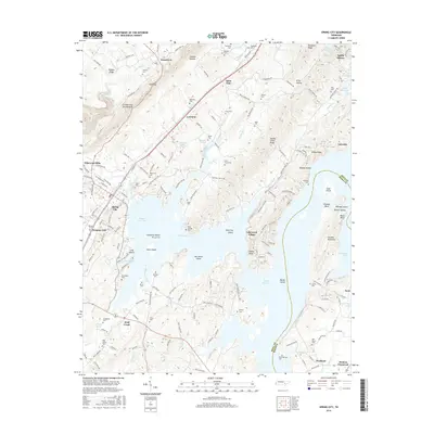
2016 Map of Spring City
USGS Topo · Published 2016About this map
Watts Bar Lake dominates this Rhea County landscape, its sprawling waters encircling numerous named landforms like Barker Island and Doc Smith Island. To the west, the Cumberland Escarpment rises sharply towards Walden Ridge, defining the western edge of the Tennessee River Valley. This modern survey reflects decades of topographical change following the mid-century impoundment of the river, which submerged former landmarks while creating new shoreline communities such as Lakewood Village and Apollo Shores.
Find a feature on this map
173 named features on this map. Tap any name to fly to it.
Don’t see what you’re looking for? This feature index may not catch every label — zoom into the map to look around manually.
Map Details
Editions of this 2016 Spring City Map
This is the sole edition of this map. No revisions or reprints were ever made.
Other maps of this area

1887 · Kingston
USGS Topo · 1:125,000

1891 · Kingston
USGS Topo · 1:125,000

1893 · Kingston
USGS Topo · 1:125,000
1935 · Rockwood
USGS Topo · 1:24,000
1935 · Evensville
USGS Topo · 1:24,000
1935 · Decatur
USGS Topo · 1:24,000
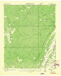
1935 · Pennine
USGS Topo · 1:24,000
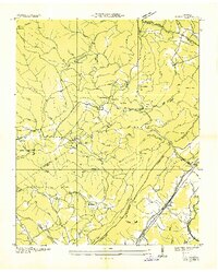
1936 · Roddy
USGS Topo · 1:24,000
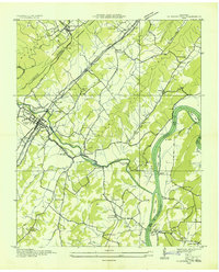
1936 · Spring City
USGS Topo · 1:24,000
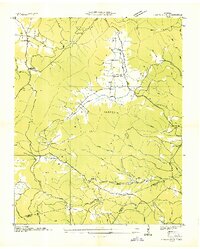
1936 · Grassy Cove
USGS Topo · 1:24,000