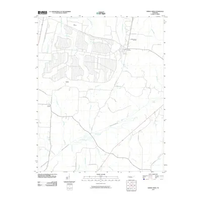
2010 Map of Spring Creek
USGS Topo · Published 2010About this map
The settlement of Lavinia Post Office and its surrounding rural community anchor this West Tennessee landscape, where the headwaters of the Middle Fork Forked Deer River and Spring Creek converge. The topography is defined by a dense network of watercourses, including the Old River Run and several forks of Wolf Creek. Genealogists and local historians will find significant detail in the placement of small, rural burial grounds such as Elam Cemetery, Hope Hill Cemetery, and Hopewell Cemetery, which are connected by a web of local routes like Christmasville Rd and Hope Hill Rd.
Find a feature on this map
41 named features on this map. Tap any name to fly to it.
Don’t see what you’re looking for? This feature index may not catch every label — zoom into the map to look around manually.
Map Details
Editions of this 2010 Spring Creek Map
This is the sole edition of this map. No revisions or reprints were ever made.
Other maps of this area

1950 · Jackson North
USGS Topo · 1:24,000

1951 · Jackson North
USGS Topo · 1:24,000

1952 · Milan
USGS Topo · 1:24,000

1953 · Claybrook
USGS Topo · 1:24,000

1955 · Juno
USGS Topo · 1:24,000

1956 · Blytheville
USGS Topo · 1:250,000

1959 · Medina
USGS Topo · 1:24,000

1959 · Blytheville
USGS Topo · 1:250,000

1966 · Spring Creek
USGS Topo · 1:24,000

1966 · Mc Lemoresville
USGS Topo · 1:24,000