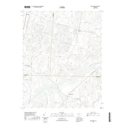
2019 Map of Spring Creek
USGS Topo · Published 2019About this map
The Middle Fork Forked Deer River and its intricate drainage system define this West Tennessee landscape, where three counties—Gibson, Carroll, and Madison—intersect. Small settlements like Spring Creek and Lavinia serve as focal points for a rural road network that follows the subtle rises between watercourses like Old River Run and Spring Cr. The presence of numerous family and community burial grounds, including Elam Cem, Lavinia Cem, and Hope Hill Cem, provides a map for genealogists tracing local lineages in this agricultural corridor.
Find a feature on this map
54 named features on this map. Tap any name to fly to it.
Don’t see what you’re looking for? This feature index may not catch every label — zoom into the map to look around manually.
Map Details
Editions of this 2019 Spring Creek Map
This is the sole edition of this map. No revisions or reprints were ever made.
Other maps of this area

1950 · Jackson North
USGS Topo · 1:24,000

1951 · Jackson North
USGS Topo · 1:24,000

1952 · Milan
USGS Topo · 1:24,000

1953 · Claybrook
USGS Topo · 1:24,000

1955 · Juno
USGS Topo · 1:24,000

1956 · Blytheville
USGS Topo · 1:250,000

1959 · Medina
USGS Topo · 1:24,000

1959 · Blytheville
USGS Topo · 1:250,000

1966 · Spring Creek
USGS Topo · 1:24,000

1966 · Mc Lemoresville
USGS Topo · 1:24,000