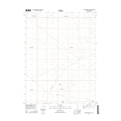
2014 Map of Spring Creek Flat NW
USGS Topo · Published 2014About this map
Antelope Valley dominates the central portion of this high-desert Nevada landscape, bracketed by the rising slopes of the South Mountains to the south. This 2014 survey documents a characteristic Great Basin environment where human infrastructure is largely defined by long-distance transit corridors rather than dense settlement. The drainage patterns flow toward the broader Spring Creek Flat in the southeast, illustrating the natural basin-and-range topography. A small network of thoroughfares, including Pleasant Valley Rd and the evocatively named Whiskey Rd, intersect the valley floor, providing access through these townships. The map clearly delineates public land survey system boundaries across multiple ranges, including t24n r69e, providing a precise record of land division in this section of White Pine County.
Find a feature on this map
12 named features on this map. Tap any name to fly to it.
Don’t see what you’re looking for? This feature index may not catch every label — zoom into the map to look around manually.
Map Details
Editions of this 2014 Spring Creek Flat NW Map
This is the sole edition of this map. No revisions or reprints were ever made.
Other maps of this area

1955 · Elko
USGS Topo · 1:250,000

1956 · Ely
USGS Topo · 1:250,000

1958 · Elko
USGS Topo · 1:250,000

1959 · Ely
USGS Topo · 1:250,000

1962 · Elko
USGS Topo · 1:250,000

1963 · Ely
USGS Topo · 1:250,000

1965 · Elko
USGS Topo · 1:250,000

1979 · Sunset Reservoir
USGS Topo · 1:24,000
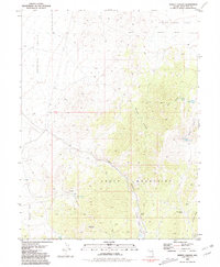
1981 · Tippett Canyon
USGS Topo · 1:24,000
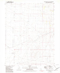
1981 · Spring Creek Flat NW
USGS Topo · 1:24,000