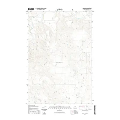
2014 Map of Spring Creek
USGS Topo · Published 2014About this map
Little Missouri National Grassland dominates this portion of Slope County, where the high plains break into the drainage of the Little Missouri River. This 2014 survey captures a landscape defined by sharp elevation changes and dry-country watercourses, most notably the meandering Spring Cr and the topographic indentation of Spring Coulee. The terrain is sparsely settled, with the local transportation network limited to established routes like Johnson Rd and Rhame Rd that cut through the open rangeland. This map provides a detailed look at the North Dakota badlands environment before modern industrial or residential expansion, showing a territory where the natural contours of the grassland and the river's path remain the primary geographic features.
Find a feature on this map
6 named features on this map. Tap any name to fly to it.
Don’t see what you’re looking for? This feature index may not catch every label — zoom into the map to look around manually.
Map Details
Editions of this 2014 Spring Creek Map
This is the sole edition of this map. No revisions or reprints were ever made.
Other maps of this area

1953 · Dickinson
USGS Topo · 1:250,000

1957 · Dickinson
USGS Topo · 1:250,000

1979 · Deep Creek North
USGS Topo · 1:24,000

1979 · Three V Crossing
USGS Topo · 1:24,000

1979 · Bullion Butte
USGS Topo · 1:24,000

1980 · Spring Creek
USGS Topo · 1:24,000

1980 · Boyce Creek West
USGS Topo · 1:24,000

1980 · Alpha
USGS Topo · 1:24,000

1980 · Belfield
USGS Topo · 1:100,000

1981 · Bowman
USGS Topo · 1:100,000