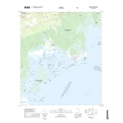
2018 Map of Spring Creek
USGS Topo · Published 2018About this map
Saint Marks National Wildlife Refuge and the Apalachicola National Forest meet in this coastal stretch of Wakulla County, where the Florida landscape dissolves into the Gulf of Mexico. Small settlements and outposts like Spring Creek and Skipper sit at the edge of a complex network of tidal creeks and marshes, including Purify Creek and Shepherd Spring Creek. The map documents a fragile interface of land and sea, marked by numerous small landforms such as Palmetto Island, Alligator Island, and Hopkins Island.
Find a feature on this map
89 named features on this map. Tap any name to fly to it.
Don’t see what you’re looking for? This feature index may not catch every label — zoom into the map to look around manually.
Map Details
Editions of this 2018 Spring Creek Map
This is the sole edition of this map. No revisions or reprints were ever made.
Other maps of this area

1940 · Arran
USGS Topo · 1:62,500

1943 · Arran
USGS Topo · 1:62,500

1943 · St. Teresa Beach
USGS Topo · 1:24,000

1943 · Lighthouse Point
USGS Topo · 1:24,000

1945 · Lighthouse Point
USGS Topo · 1:31,680

1945 · St Teresa
USGS Topo · 1:31,680

1949 · Apalachicola
USGS Topo · 1:250,000

1954 · Sprague Island
USGS Topo · 1:24,000

1954 · St. Marks
USGS Topo · 1:24,000

1954 · Tallahassee
USGS Topo · 1:250,000